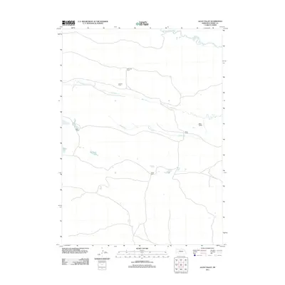
2011 Map of Allen Valley
USGS Topo · Published 2011About this map
Allen Valley characterizes this portion of Cherry County, where the Sandhills landscape is defined by its drainage systems and large-scale ranching operations. The North Loup River enters the northeastern corner, while Big Creek and Horse Creek course through the central terrain, providing vital water sources for the isolated ranch sites that dot the area. These family-named holdings, such as A Andrews Ranch, Andrews Ranch, and Boyer Ranch, underscore the enduring pastoral economy of this Nebraska region. Scattered water bodies like Marsh Lake and Humpert Lake further reveal the hydrology of the valley floor. The map’s reliance on these specific ranch names rather than traditional townships reflects the sparse settlement pattern and the significant role of individual landowners in the geography of the Great Plains during the early 21st century.
Find a feature on this map
11 named features on this map. Tap any name to fly to it.
Don’t see what you’re looking for? This feature index may not catch every label — zoom into the map to look around manually.
Map Details
Editions of this 2011 Allen Valley Map
This is the sole edition of this map. No revisions or reprints were ever made.
Other maps of this area

1948 · Seneca
USGS Topo · 1:62,500

1948 · Mullen
USGS Topo · 1:62,500

1949 · Big Falls
USGS Topo · 1:62,500

1951 · Mullen
USGS Topo · 1:62,500

1951 · Seneca
USGS Topo · 1:62,500

1951 · Big Falls
USGS Topo · 1:62,500

1951 · Bull Lake
USGS Topo · 1:62,500

1957 · Valentine
USGS Topo · 1:250,000

1959 · Valentine
USGS Topo · 1:250,000

1985 · Mullen
USGS Topo · 1:100,000