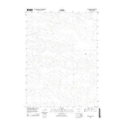
2014 Map of Allen Valley
USGS Topo · Published 2014About this map
The North Loup River winds through the northern portion of this Nebraska landscape, cutting a path through the distinct terrain of Allen Valley. This 2014 survey by the U.S. Geological Survey captures a region defined by its hydrography, where the undulating surface is punctuated by significant water bodies such as Marsh Lake and Humpert Lake. The drainage network is further established by seasonal or perennial flows including Big Cr and Horse Cr, which traverse the central and eastern sections of the quadrangle. The lack of marked settlements or structures highlights the sparsely populated, ranching-oriented nature of this part of Cherry County, where the relationship between water sources and the land remains the primary driver of geographic activity.
Find a feature on this map
6 named features on this map. Tap any name to fly to it.
Don’t see what you’re looking for? This feature index may not catch every label — zoom into the map to look around manually.
Map Details
Editions of this 2014 Allen Valley Map
This is the sole edition of this map. No revisions or reprints were ever made.
Other maps of this area

1948 · Seneca
USGS Topo · 1:62,500

1948 · Mullen
USGS Topo · 1:62,500

1949 · Big Falls
USGS Topo · 1:62,500

1951 · Mullen
USGS Topo · 1:62,500

1951 · Seneca
USGS Topo · 1:62,500

1951 · Big Falls
USGS Topo · 1:62,500

1951 · Bull Lake
USGS Topo · 1:62,500

1957 · Valentine
USGS Topo · 1:250,000

1959 · Valentine
USGS Topo · 1:250,000

1985 · Mullen
USGS Topo · 1:100,000