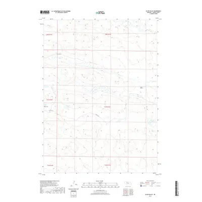
2017 Map of Allen Valley
USGS Topo · Published 2017About this map
Allen Valley characterizes this high plains landscape in Cherry County, where the hydrology is dominated by the North Loup River winding through the northern reaches. The area is defined by its complex wetland systems, including the Murphy Swamp and the expansive Marsh Flat surrounding Marsh Lake. These features, along with Humpert Lake, suggest a terrain shaped by the unique Nebraska Sandhills ecosystem, where groundwater and surface drainage create a network of intermittent and permanent water bodies like Big Cr and Horse Cr.
Find a feature on this map
16 named features on this map. Tap any name to fly to it.
Don’t see what you’re looking for? This feature index may not catch every label — zoom into the map to look around manually.
Map Details
Editions of this 2017 Allen Valley Map
This is the sole edition of this map. No revisions or reprints were ever made.
Other maps of this area

1948 · Seneca
USGS Topo · 1:62,500

1948 · Mullen
USGS Topo · 1:62,500

1949 · Big Falls
USGS Topo · 1:62,500

1951 · Mullen
USGS Topo · 1:62,500

1951 · Seneca
USGS Topo · 1:62,500

1951 · Big Falls
USGS Topo · 1:62,500

1951 · Bull Lake
USGS Topo · 1:62,500

1957 · Valentine
USGS Topo · 1:250,000

1959 · Valentine
USGS Topo · 1:250,000

1985 · Mullen
USGS Topo · 1:100,000