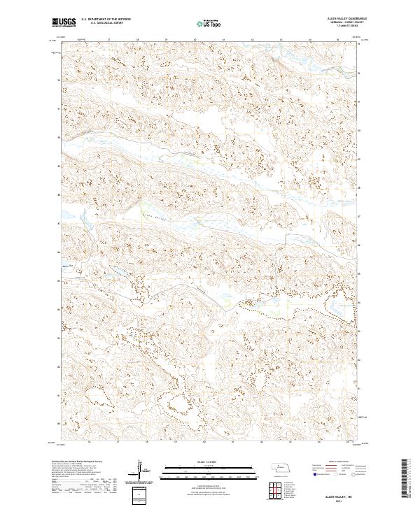
2021 Map of Allen Valley
USGS Topo · Published 2021About this map
Allen Valley dominates this 2021 landscape in Cherry County, Nebraska, where the Sandhills topography creates a complex network of wetlands and seasonal drainages. The North Loup River clips the northern edge of the map, while numerous smaller watercourses like Big Cr and Horse Cr carve through the terrain. This region is characterized by significant natural depressions that have formed prominent water bodies such as Humpert Lake and the low-lying Murphy Swamp.
Find a feature on this map
15 named features on this map. Tap any name to fly to it.
Don’t see what you’re looking for? This feature index may not catch every label — zoom into the map to look around manually.
Map Details
Editions of this 2021 Allen Valley Map
This is the sole edition of this map. No revisions or reprints were ever made.
Other maps of this area

1948 · Seneca
USGS Topo · 1:62,500

1948 · Mullen
USGS Topo · 1:62,500

1949 · Big Falls
USGS Topo · 1:62,500

1951 · Mullen
USGS Topo · 1:62,500

1951 · Seneca
USGS Topo · 1:62,500

1951 · Big Falls
USGS Topo · 1:62,500

1951 · Bull Lake
USGS Topo · 1:62,500

1957 · Valentine
USGS Topo · 1:250,000

1959 · Valentine
USGS Topo · 1:250,000

1985 · Mullen
USGS Topo · 1:100,000