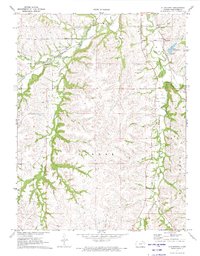
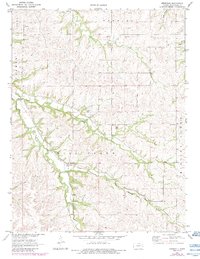
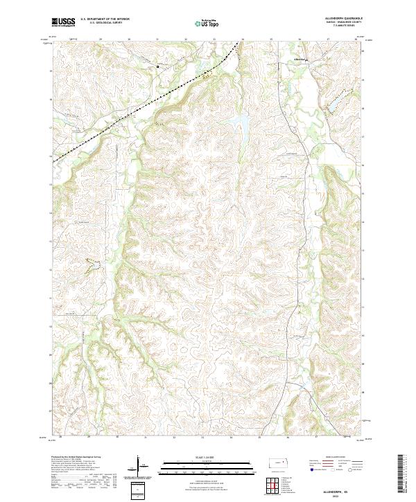
1971 Map of Allendorph
USGS Topo · Published 1973This historical map portrays the area of Allendorph in 1971, primarily covering Wabaunsee County. Featuring a scale of 1:24000, this map provides a highly detailed snapshot of the terrain, roads, buildings, counties, and historical landmarks in the Allendorph region at the time. Published in 1973, it is one of 2 known editions of this map due to revisions or reprints.
Find a feature on this map
18 named features on this map. Tap any name to fly to it.
Don’t see what you’re looking for? This feature index may not catch every label — zoom into the map to look around manually.
Map Details
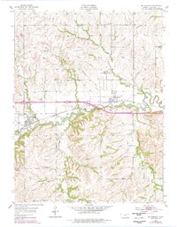
Editions of this 1971 Allendorph Map
2 editions found
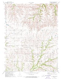
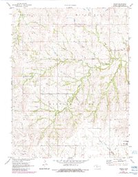
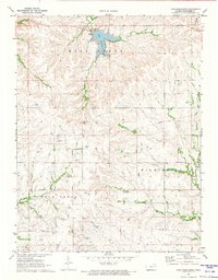
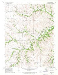
Historical Maps of Wabaunsee County Through Time
13 maps found
1954 Mc Farland
Wabaunsee County, KS
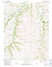
1971 Allendorph
Wabaunsee County, KS
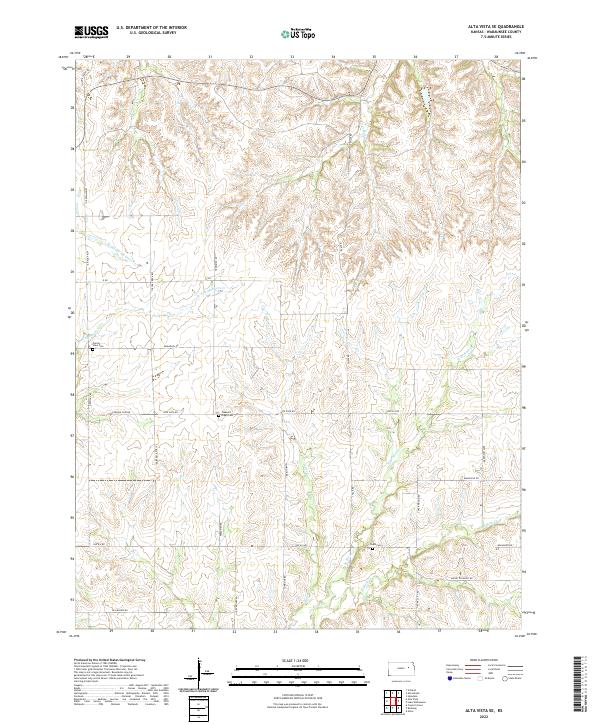
1971 Alta Vista SE
Wabaunsee County, KS
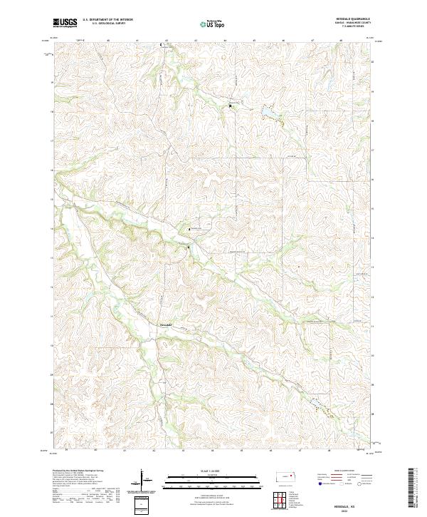
1971 Hessdale
Wabaunsee County, KS
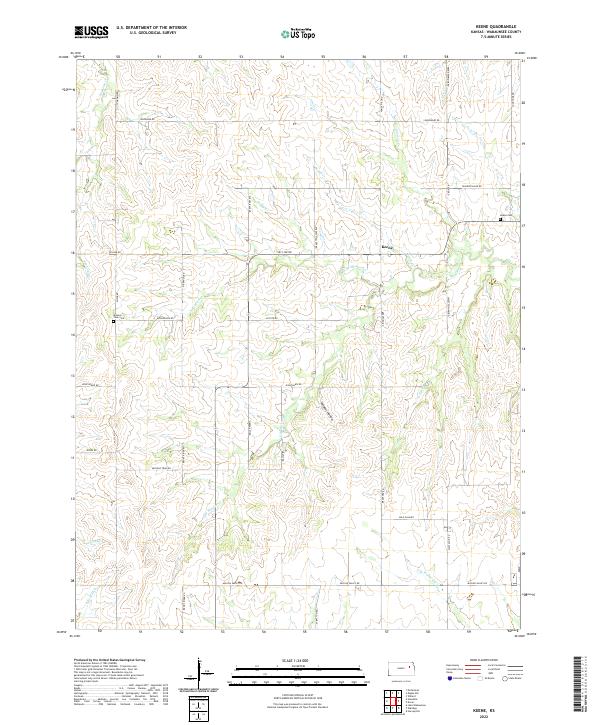
1971 Keene
Wabaunsee County, KS
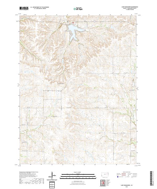
1971 Lake Wabaunsee
Wabaunsee County, KS
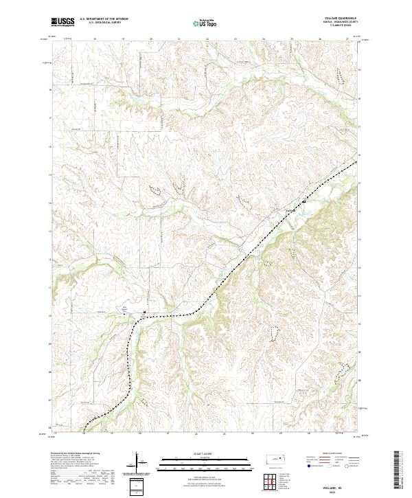
1971 Volland
Wabaunsee County, KS
2022 Allendorph
Wabaunsee County, KS
2022 Alta Vista SE
Wabaunsee County, KS
2022 Hessdale
Wabaunsee County, KS
2022 Keene
Wabaunsee County, KS
2022 Lake Wabaunsee
Wabaunsee County, KS
2022 Volland
Wabaunsee County, KS