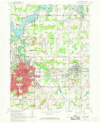
1966 Map of Alliance
USGS Topo · Published 1968About this map
The industrial and academic hub of Alliance serves as the focal point of this 1960s landscape, where the Penn Central rail lines intersect near Alliance Junction. This era reveals a transition from heavy resource extraction at the Strip Mines north of town to the established campus life of Mt Union College. Surrounding the urban center, the landscape is defined by the significant waters of Berlin Reservoir and Deer Creek Res, supporting a growing recreational and utility infrastructure including the Sebring Country Club and the Barber Airport. Smaller satellite communities such as Sebring, North Benton, and Beloit are clearly marked, connected by a maturing road network. Local history is deeply embedded in the rural areas, evidenced by many family and congregational landmarks like Old German Ch, Hartzell Cem, and Hartley Cem scattered across the township boundaries.
Find a feature on this map
98 named features on this map. Tap any name to fly to it.
Don’t see what you’re looking for? This feature index may not catch every label — zoom into the map to look around manually.
Map Details
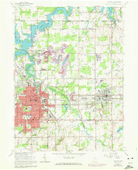
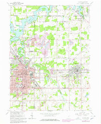
Editions of this 1966 Alliance Map
Other maps of this area

1906 · Ravenna
USGS Topo · 1:62,500

1908 · Warren
USGS Topo · 1:62,500

1908 · Ravenna
USGS Topo · 1:62,500

1909 · Alliance
USGS Topo · 1:62,500

1909 · Lisbon
USGS Topo · 1:62,500

1950 · Cleveland
USGS Topo · 1:250,000

1951 · Canton
USGS Topo · 1:250,000

1952 · Lake Milton
USGS Topo · 1:24,000

1952 · Alliance
USGS Topo · 1:24,000

1952 · Damascus
USGS Topo · 1:24,000