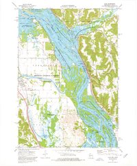
1974 Map of Alma
USGS Topo · Published 1976About this map
The Mississippi River corridor dominates this 1970s survey, where the river's complex braided channels and backwaters define the boundary between Minnesota and Wisconsin. On the Wisconsin side, the city of Alma is tucked between the river and steep bluffs, notable for the massive Lock and Dam No 4 and the Burlington Northern railroad lines. Across the water in Minnesota, the landscape opens into the Minnesota Memorial Hardwood State Forest and the Mc Carthy Lake State Wildlife Management Area, showing a terrain shaped by the confluence of the Zumbro River. This era reflects a highly managed river system, documented by numerous gaging stations and lights navigation aids. Smaller settlements like Kellogg, Minneiska, and West Newton anchor the floodplain, while the Chicago Milwaukee St Paul and Pacific railroad traces the western shore through Gorman.
Find a feature on this map
41 named features on this map. Tap any name to fly to it.
Don’t see what you’re looking for? This feature index may not catch every label — zoom into the map to look around manually.
Map Details
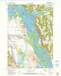
Editions of this 1974 Alma Map
2 editions found
Other maps of this area

1932 · Cochrane
USGS Topo · 1:62,500

1932 · Wabasha
USGS Topo · 1:62,500

1932 · Alma
USGS Topo · 1:62,500

1934 · Plainview
USGS Topo · 1:62,500

1934 · Cochrane
USGS Topo · 1:62,500

1937 · Cochrane
USGS Topo · 1:62,500

1938 · Plainview
USGS Topo · 1:62,500

1950 · Alma
USGS Topo · 1:62,500

1951 · Wabasha
USGS Topo · 1:62,500

1953 · Saint Paul
USGS Topo · 1:250,000