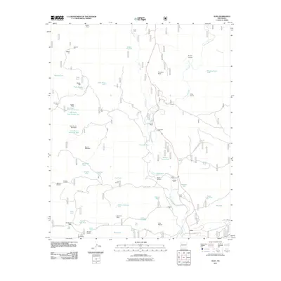
2011 Map of Alma
USGS Topo · Published 2011About this map
Alma serves as the focal point of this arid Catron County landscape, situated where the San Francisco River meets the drainages of Mineral Creek and Deep Creek. The map reveals a land defined by water scarcity and cattle ranching, marked by a network of ranch properties and vital watering holes like Hollimon Well and John Windmill. Ranching heritage is prominently displayed through named homesteads such as the W-S Ranch, E Spurgeon Ranch, and B McKeen Ranch, which are connected by specialized routes like Smoothing Iron Rd and Alma Mesa Rd. The terrain is characterized by flat-topped mesas including Spurgeon Mesa and Racetrack Mesa, and the complex network of tanks—such as Leaky Tank and Hells Here Tank—necessary for sustaining livestock across the high desert flats and deep canyons like Beaver Canyon.
Find a feature on this map
73 named features on this map. Tap any name to fly to it.
Don’t see what you’re looking for? This feature index may not catch every label — zoom into the map to look around manually.
Map Details
Editions of this 2011 Alma Map
This is the sole edition of this map. No revisions or reprints were ever made.
Other maps of this area

1910 · Mogollon
USGS Topo · 1:125,000

1912 · Mogollon
USGS Topo · 1:125,000

1913 · Morenci
USGS Topo · 1:125,000

1915 · Morenci
USGS Topo · 1:125,000

1915 · Reserve
USGS Topo · 1:125,000

1918 · Reserve
USGS Topo · 1:125,000

1922 · Nutrioso
USGS Topo · 1:125,000

1954 · Clifton
USGS Topo · 1:250,000

1957 · Clifton
USGS Topo · 1:250,000

1958 · Clifton
USGS Topo · 1:250,000