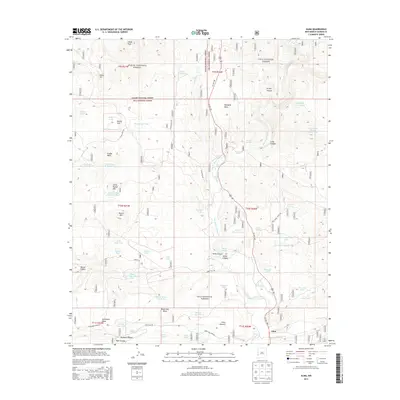
2013 Map of Alma
USGS Topo · Published 2013About this map
The San Francisco River cuts a deep path through this southwestern landscape, separating the high plateaus of Spurgeon Mesa and Cradle Mesa. In the valley, the settlement of Alma serves as a focal point for the region's ranching and resource management activity. This area is defined by its transition between the Apache National Forest and Gila National Forest, where water management is paramount. Numerous earthen tanks, such as Twin Sister Tank Number One and the Alma Water Storage Tank, are mapped across the mesas to support livestock and wildlife. Remote access is provided by a network of forest roads including White Rocks Rd and Sunflower Mesa Rd, which navigate the canyons and flats like Weedy Flat and Hicks Pasture.
Find a feature on this map
71 named features on this map. Tap any name to fly to it.
Don’t see what you’re looking for? This feature index may not catch every label — zoom into the map to look around manually.
Map Details
Editions of this 2013 Alma Map
This is the sole edition of this map. No revisions or reprints were ever made.
Other maps of this area

1910 · Mogollon
USGS Topo · 1:125,000

1912 · Mogollon
USGS Topo · 1:125,000

1913 · Morenci
USGS Topo · 1:125,000

1915 · Morenci
USGS Topo · 1:125,000

1915 · Reserve
USGS Topo · 1:125,000

1918 · Reserve
USGS Topo · 1:125,000

1922 · Nutrioso
USGS Topo · 1:125,000

1954 · Clifton
USGS Topo · 1:250,000

1957 · Clifton
USGS Topo · 1:250,000

1958 · Clifton
USGS Topo · 1:250,000