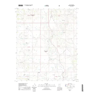
2020 Map of Alma
USGS Topo · Published 2020About this map
Alma serves as the primary settlement on this western New Mexico landscape, situated where the high desert terrain meets the San Francisco River valley. The map reveals an intricate network of water management features essential for ranching and survival in this arid environment, including numerous named stock tanks such as Leaky Tank, Twin Sister Tank Number One, and Alma Flat Tank. These features are scattered across distinct geological formations like Spurgeon Mesa and Cradle Mesa, illustrating how land use is dictated by the dramatic topography.
Find a feature on this map
65 named features on this map. Tap any name to fly to it.
Don’t see what you’re looking for? This feature index may not catch every label — zoom into the map to look around manually.
Map Details
Editions of this 2020 Alma Map
This is the sole edition of this map. No revisions or reprints were ever made.
Other maps of this area
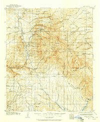
1910 · Mogollon
USGS Topo · 1:125,000
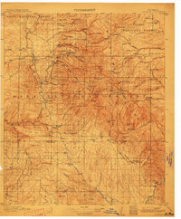
1912 · Mogollon
USGS Topo · 1:125,000
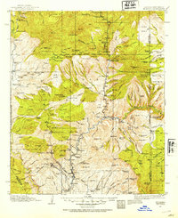
1913 · Morenci
USGS Topo · 1:125,000
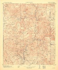
1915 · Morenci
USGS Topo · 1:125,000
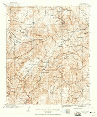
1915 · Reserve
USGS Topo · 1:125,000
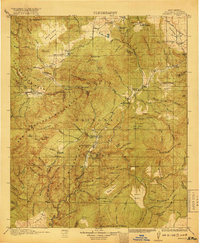
1918 · Reserve
USGS Topo · 1:125,000
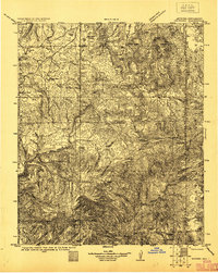
1922 · Nutrioso
USGS Topo · 1:125,000
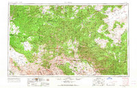
1954 · Clifton
USGS Topo · 1:250,000
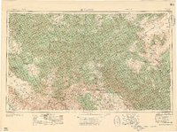
1957 · Clifton
USGS Topo · 1:250,000
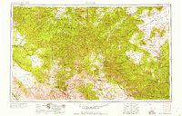
1958 · Clifton
USGS Topo · 1:250,000