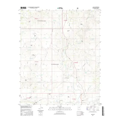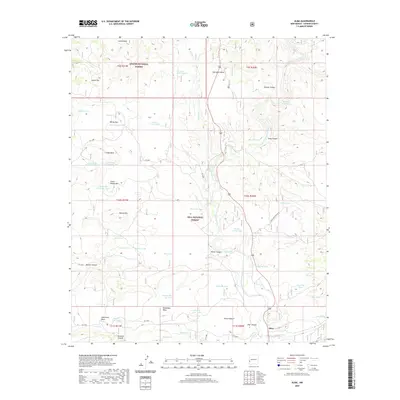
2023 Map of Alma
USGS Topo · Published 2023About this map
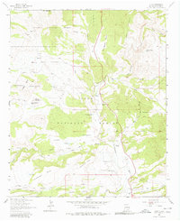
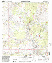
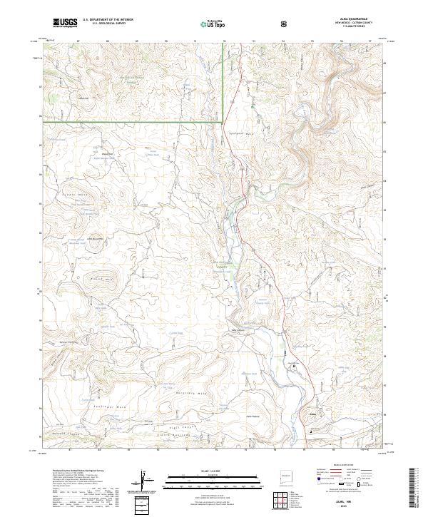
Alma and its surrounding canyonlands are documented here at the confluence where Pueblo Creek joins the San Francisco River. This area of Catron County is a mosaic of public lands, including the Blue Range Wilderness, Apache National Forest, and Gila National Forest. The map reveals a landscape dominated by livestock and water management, evidenced by dozens of named tanks such as Wylie Morgan Tank and Jones Draw Tank. Significant local landmarks like Spurgeon Mesa and Cradle Mesa rise above the river valley, while the presence of Boot Hill Cem and Alma Cem provide direct links to the community's frontier history. The terrain is deeply incised by drainages like Keller Canyon and Kelly Canyon, illustrating the complex drainage systems that feed into the San Francisco River corridor.
Find a feature on this map
68 named features on this map. Tap any name to fly to it.
Don’t see what you’re looking for? This feature index may not catch every label — zoom into the map to look around manually.
Map Details
Editions of this 2023 Alma Map
This is the sole edition of this map. No revisions or reprints were ever made.
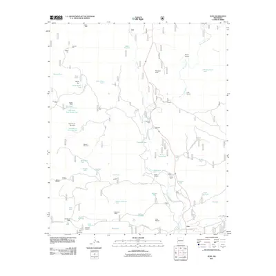
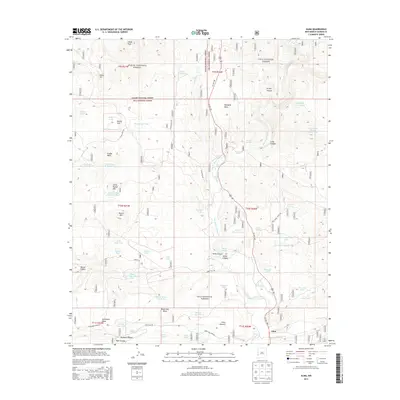
Historical Maps of LH Ranch Through Time
7 maps found