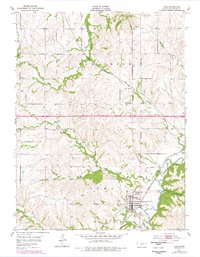
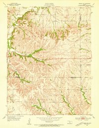
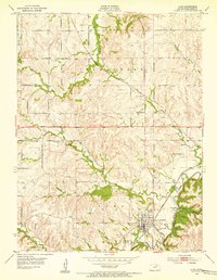
1954 Map of Alma
USGS Topo · Published 1978About this map
Alma serves as the central hub of this Kansas landscape, situated where the Chicago Rock Island and Pacific tracks follow the winding course of Mill Creek. The town is well-documented with its grid of streets, the Alma Cem, and nearby industrial markers like a Gravel Pit. The surrounding terrain is deeply etched by a network of drainage, including Antelope Creek and Hendricks Creek, which feed into the larger valley system.
Find a feature on this map
20 named features on this map. Tap any name to fly to it.
Don’t see what you’re looking for? This feature index may not catch every label — zoom into the map to look around manually.
Map Details
Editions of this 1954 Alma Map
2 editions found
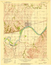
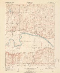
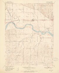
Other maps of this area

1885 · Eskridge
USGS Topo · 1:125,000

1889 · Wamego
USGS Topo · 1:125,000

1889 · Eskridge
USGS Topo · 1:125,000

1894 · Eskridge
USGS Topo · 1:125,000

1894 · Wamego
USGS Topo · 1:125,000
1953 · Wamego
USGS Topo · 1:24,000
1953 · St George
USGS Topo · 1:24,000
1953 · Belvue
USGS Topo · 1:24,000
1953 · Wamego SW
USGS Topo · 1:24,000
1954 · Alma
USGS Topo · 1:24,000