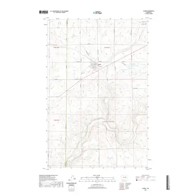
2020 Map of Almira
USGS Topo · Published 2020About this map
Almira serves as the focal point of this landscape in Lincoln County, where the grid of residential streets like W Main St and W Maple St meets the open agricultural terrain of the Big Bend country. The map documents the local geography through family-named features and infrastructure essential to the rural economy, including the Almira Cem just west of the town center.
Find a feature on this map
45 named features on this map. Tap any name to fly to it.
Don’t see what you’re looking for? This feature index may not catch every label — zoom into the map to look around manually.
Map Details
Editions of this 2020 Almira Map
This is the sole edition of this map. No revisions or reprints were ever made.
Other maps of this area

1948 · Grand Coulee Dam
USGS Topo · 1:62,500

1950 · Grand Coulee Dam
USGS Topo · 1:62,500

1953 · Ritzville
USGS Topo · 1:250,000

1959 · Ritzville
USGS Topo · 1:250,000

1965 · Ritzville
USGS Topo · 1:250,000

1968 · Hartline
USGS Topo · 1:24,000

1968 · Steamboat Rock SE
USGS Topo · 1:24,000

1968 · Hartline SE
USGS Topo · 1:24,000

1969 · Almira
USGS Topo · 1:24,000

1969 · Almira SE
USGS Topo · 1:24,000