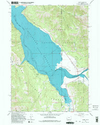
1966 Map of Alpine
USGS Topo · Published 1998About this map
Palisades Reservoir dominates the landscape at the meeting of the Snake, Salt, and Greys rivers. This mid-1960s survey documents the community of Alpine and the nearby Alpine Junction, situated at a vital mountain crossroads near the Idaho-Wyoming border. The reservoir's underwater contours, provided by the U.S. Bureau of Reclamation, reveal the original river channels of the Snake River before its impoundment.
Find a feature on this map
31 named features on this map. Tap any name to fly to it.
Don’t see what you’re looking for? This feature index may not catch every label — zoom into the map to look around manually.
Map Details
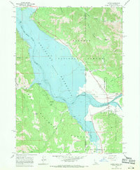
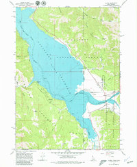
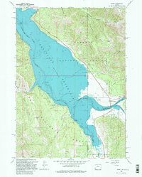
Editions of this 1966 Alpine Map
4 editions found
Other maps of this area

1931 · Jackson
USGS Topo · 1:125,000

1932 · Irwin
USGS Topo · 1:96,000

1935 · Irwin
USGS Topo · 1:125,000

1935 · Jackson
USGS Topo · 1:125,000

1955 · Driggs
USGS Topo · 1:250,000

1958 · Driggs
USGS Topo · 1:250,000

1962 · Driggs
USGS Topo · 1:250,000

1963 · Observation Peak
USGS Topo · 1:24,000

1963 · Ferry Peak
USGS Topo · 1:24,000
1965 · Stewart Peak
USGS Topo · 1:24,000