
1970 Map of Alston Ranch
USGS Topo · Published 1972About this map
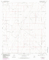
Ranger Lake and the surrounding Oil Field characterize this corner of Lea County, where industrial infrastructure meets the traditional ranching landscape of the Llano Estacado. The map reveals a complex network of resource extraction and water management, noted by a pervasive Pipeline system and numerous family-named landmarks. The reliance on groundwater is evident through a distribution of cattle-rearing infrastructure, including the Old Dipping Vat Windmill, Sartin Windmill, and Goat Windmill.
Find a feature on this map
15 named features on this map. Tap any name to fly to it.
Don’t see what you’re looking for? This feature index may not catch every label — zoom into the map to look around manually.
Map Details
Editions of this 1970 Alston Ranch Map
2 editions found
Other maps of this area

1954 · Brownfield
USGS Topo · 1:250,000

1958 · Brownfield
USGS Topo · 1:250,000

1962 · Brownfield
USGS Topo · 1:250,000

1970 · Simanola Valley
USGS Topo · 1:24,000

1970 · Hillburn City
USGS Topo · 1:24,000

1970 · Tatum South
USGS Topo · 1:24,000

1970 · Tatum North
USGS Topo · 1:24,000

1970 · Hillburn City SW
USGS Topo · 1:24,000

1973 · Fort Ranch
USGS Topo · 1:24,000

1973 · Frier Ranch
USGS Topo · 1:24,000