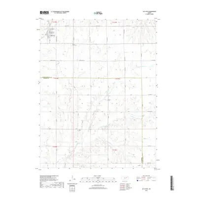
2018 Map of Alta Vista
USGS Topo · Published 2018About this map
Alta Vista serves as the primary hub for this portion of the Kansas Flint Hills, situated near the border of Wabaunsee and Morris counties. The town's grid, including Main Street and Washington Street, is framed by the headwaters of numerous creeks that define the regional drainage. Waterways such as Munkers Creek and its various branches, along with Elkhorn Creek and Wildcat Creek, create a dissected landscape characteristic of this upland prairie. For local historians, the map preserves the location of several rural burial grounds, including Alta Vista Cemetery, Bemoan Cemetery, and Garfield Cemetery. The naming of Mormon Trail Road suggests the enduring path of historic migration through this territory, while other thoroughfares like Cable City Road and Evening Star Road point toward the community's local geography.
Find a feature on this map
48 named features on this map. Tap any name to fly to it.
Don’t see what you’re looking for? This feature index may not catch every label — zoom into the map to look around manually.
Map Details
Editions of this 2018 Alta Vista Map
This is the sole edition of this map. No revisions or reprints were ever made.
Other maps of this area

1885 · Eskridge
USGS Topo · 1:125,000

1889 · Parkerville
USGS Topo · 1:125,000

1889 · Eskridge
USGS Topo · 1:125,000

1894 · Eskridge
USGS Topo · 1:125,000

1894 · Parkerville
USGS Topo · 1:125,000

1955 · Hutchinson
USGS Topo · 1:250,000

1959 · Hutchinson
USGS Topo · 1:250,000
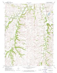
1971 · Allendorph
USGS Topo · 1:24,000

1971 · Alta Vista SE
USGS Topo · 1:24,000
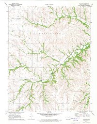
1971 · Volland
USGS Topo · 1:24,000