2022 Map of Alta Vista
USGS Topo · Published 2022About this map
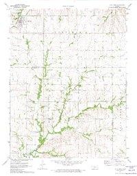
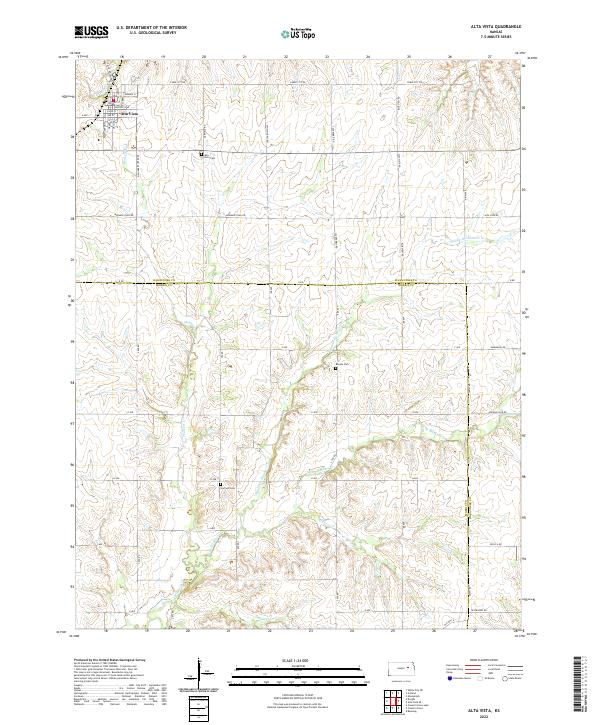
The town of Alta Vista anchors the northwest corner of this landscape, where the street grid of Main St and Center St meets the open range of the Flint Hills. This modern survey illustrates a deeply rooted agricultural and transit corridor defined by the crossing of the Wabaunsee Co Morris Co line. A network of country roads, including the significant Mormon Trail Rd, traverses the uplands between the many branches of the local creek system. The drainage patterns of W Br Mill Cr and the several forks of Munkers Cr dictate the placement of rural infrastructure and family burial grounds. Local history and genealogy are preserved at the Alta Vista Cem, Beman Cem, and Garfield Cem, which serve as quiet landmarks among the drainages of Elkhorn Cr and Wildcat Cr.
Find a feature on this map
40 named features on this map. Tap any name to fly to it.
Don’t see what you’re looking for? This feature index may not catch every label — zoom into the map to look around manually.
Map Details
Editions of this 2022 Alta Vista Map
This is the sole edition of this map. No revisions or reprints were ever made.