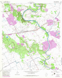
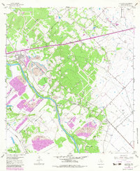
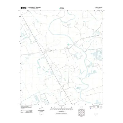
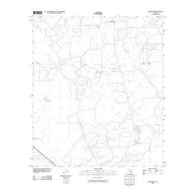
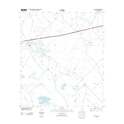
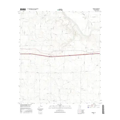
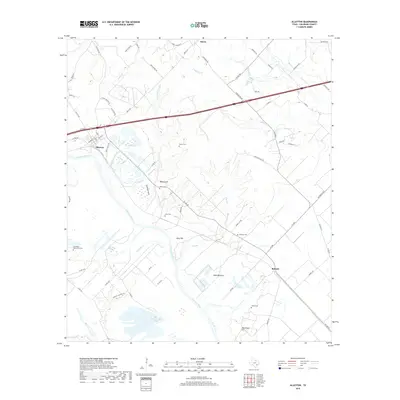
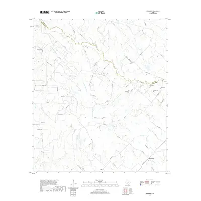
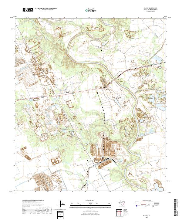
1957 Map of Altair
USGS Topo · Published 1983About this map
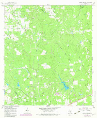
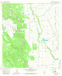
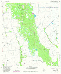
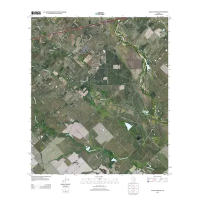
The Colorado River winds through this landscape near the settlement of Altair, where mid-century agriculture and industry meet. Surveyed in 1957 with revisions in 1981, the map captures a period of active resource extraction evidenced by the Englehart Oil Field and numerous gravel pits and strip mines. The Southern Pacific railroad provides the primary east-west corridor, paralleling the local road network.
Find a feature on this map
22 named features on this map. Tap any name to fly to it.
Don’t see what you’re looking for? This feature index may not catch every label — zoom into the map to look around manually.
Map Details
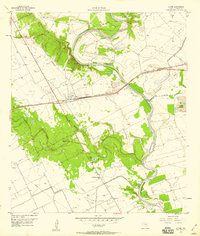
Editions of this 1957 Altair Map
2 editions found
Historical Maps of Vox Populi Through Time
55 maps found
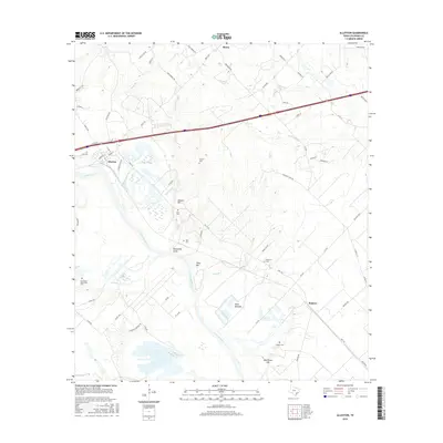
1919 Fayettsville
Colorado County, TX
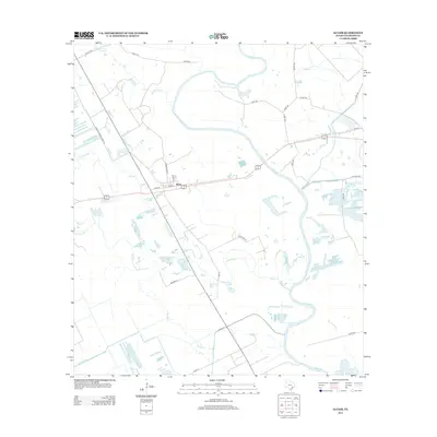
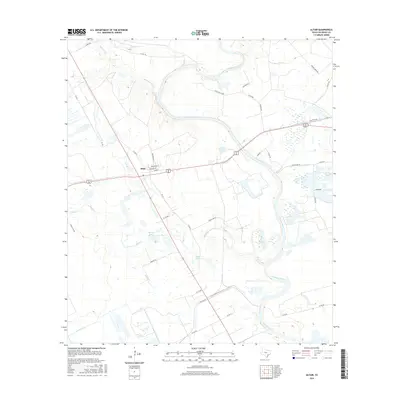
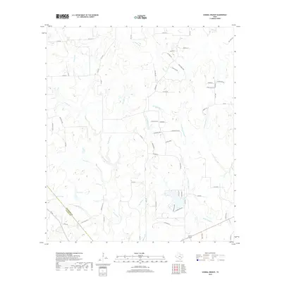
1957 Altair
Colorado County, TX
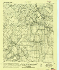
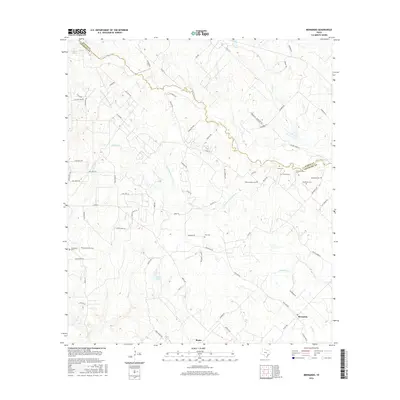
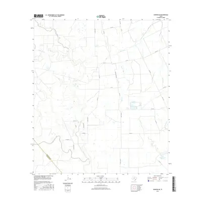
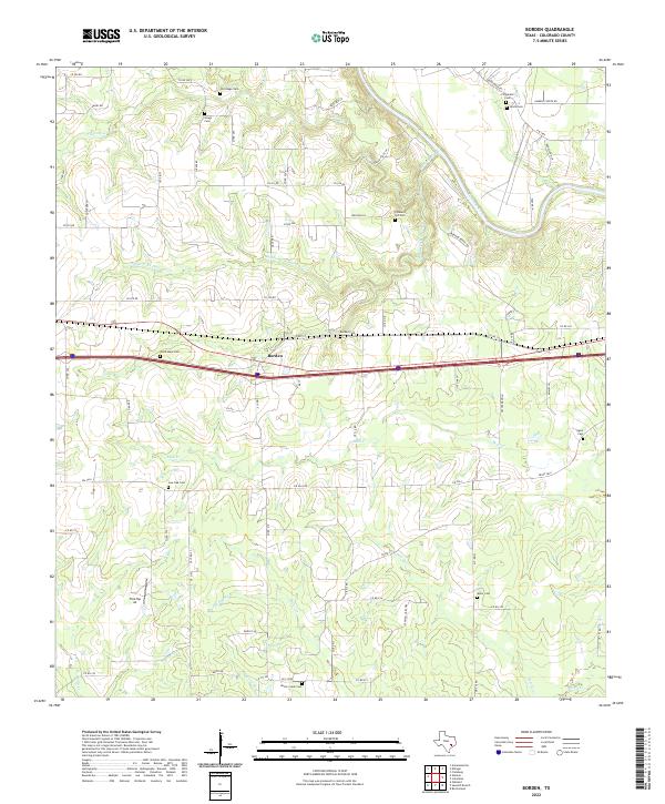
1957 Borden
Colorado County, TX
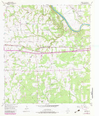
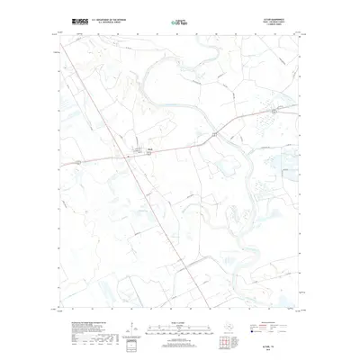
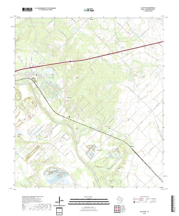
1958 Alleyton
Colorado County, TX
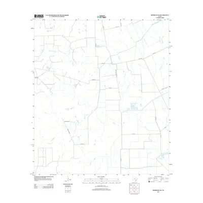
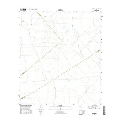
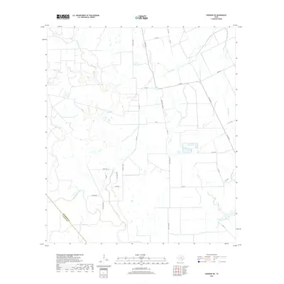
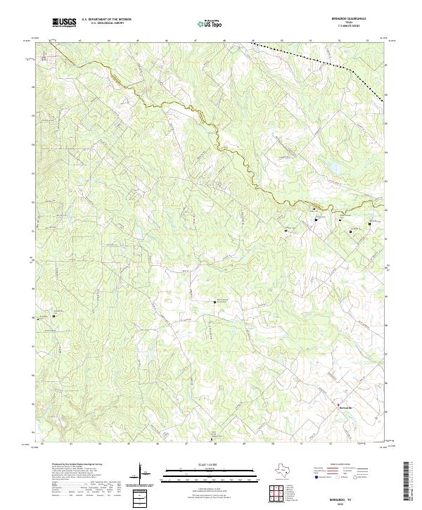
1958 Bernardo
Colorado County, TX
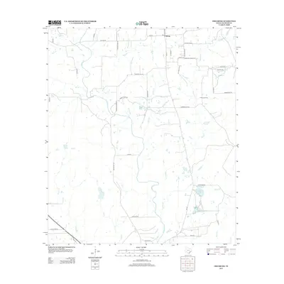
1958 Frelsburg
Colorado County, TX
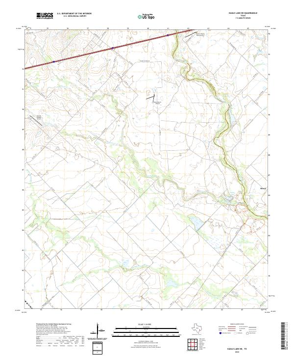
1963 Eagle Lake NE
Colorado County, TX
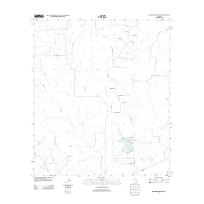
1965 Sawmill Branch
Colorado County, TX
1965 Sheridan NE
Colorado County, TX
1965 Sheridan SE
Colorado County, TX
2010 Alleyton
Colorado County, TX
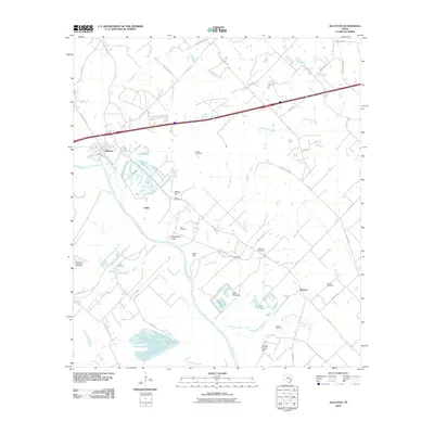
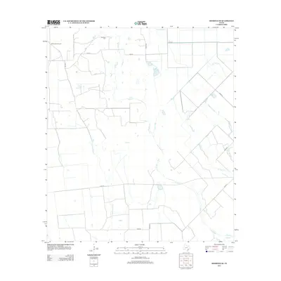
2010 Altair
Colorado County, TX
2010 Bernardo
Colorado County, TX
2010 Borden
Colorado County, TX
2010 Eagle Lake NE
Colorado County, TX
2010 Frelsburg
Colorado County, TX
2010 Sawmill Branch
Colorado County, TX
2010 Sheridan NE
Colorado County, TX
2010 Sheridan SE
Colorado County, TX
2013 Alleyton
Colorado County, TX
2013 Altair
Colorado County, TX
2013 Bernardo
Colorado County, TX
2013 Borden
Colorado County, TX
2013 Eagle Lake NE
Colorado County, TX
2013 Frelsburg
Colorado County, TX
2013 Sawmill Branch
Colorado County, TX
2013 Sheridan NE
Colorado County, TX
2013 Sheridan SE
Colorado County, TX
2016 Alleyton
Colorado County, TX
2016 Altair
Colorado County, TX
2016 Bernardo
Colorado County, TX
2016 Borden
Colorado County, TX
2016 Eagle Lake NE
Colorado County, TX
2016 Frelsburg
Colorado County, TX
2016 Sawmill Branch
Colorado County, TX
2016 Sheridan NE
Colorado County, TX
2016 Sheridan SE
Colorado County, TX
2019 Alleyton
Colorado County, TX
2019 Altair
Colorado County, TX
2019 Bernardo
Colorado County, TX
2019 Borden
Colorado County, TX
2019 Eagle Lake NE
Colorado County, TX
2019 Frelsburg
Colorado County, TX
2019 Sawmill Branch
Colorado County, TX
2019 Sheridan NE
Colorado County, TX
2019 Sheridan SE
Colorado County, TX
2022 Alleyton
Colorado County, TX
2022 Altair
Colorado County, TX
2022 Bernardo
Colorado County, TX
2022 Borden
Colorado County, TX
2022 Eagle Lake NE
Colorado County, TX
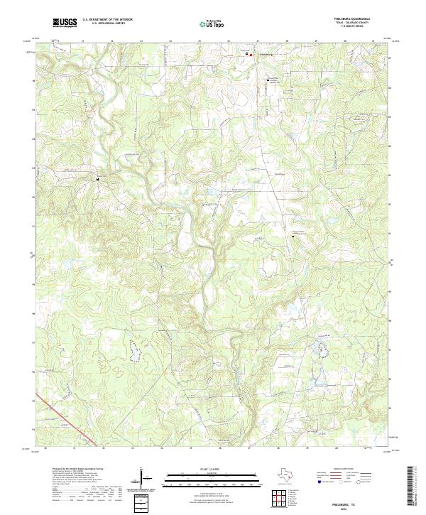
2022 Frelsburg
Colorado County, TX
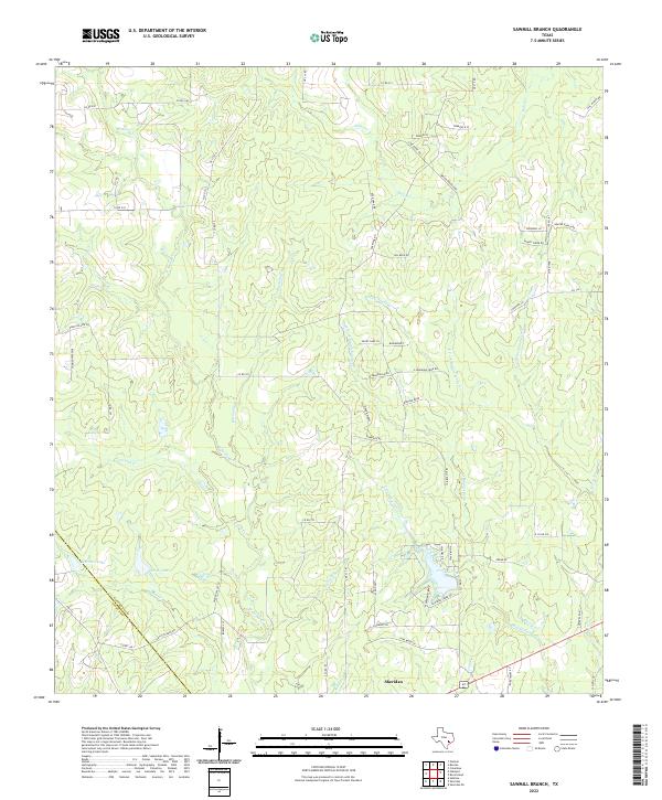
2022 Sawmill Branch
Colorado County, TX
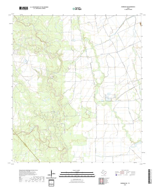
2022 Sheridan NE
Colorado County, TX
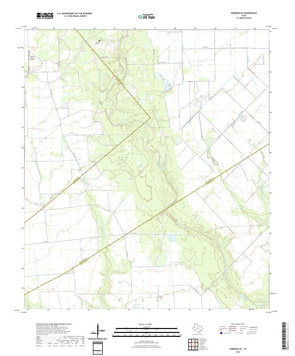
2022 Sheridan SE
Colorado County, TX