
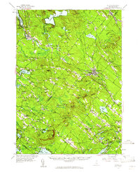
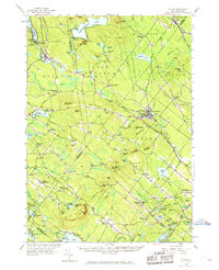
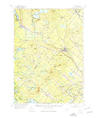
1957 Map of Alton
USGS Topo · Published 1959About this map
The Blue Hill Range anchors this mid-century landscape where New Hampshire’s lakes and hills meet established crossroads. The topography is defined by prominent peaks like Blue Job Mtn and the narrow passage of Barn Door Gap, which separates the high ground of the New Durham Ridge. Settlement patterns are distinctly concentrated around historic corners and junctions, such as Stockbridge Corners and Meaderboro Corner, reflecting a rural infrastructure built on early turnpikes and local roads.
Find a feature on this map
111 named features on this map. Tap any name to fly to it.
Don’t see what you’re looking for? This feature index may not catch every label — zoom into the map to look around manually.
Map Details
Editions of this 1957 Alton Map
4 editions found
Other maps of this area

1891 · Berwick
USGS Topo · 1:62,500

1891 · Newfield
USGS Topo · 1:62,500

1893 · Dover
USGS Topo · 1:62,500

1893 · Berwick
USGS Topo · 1:62,500

1893 · Newfield
USGS Topo · 1:62,500

1909 · Winnepesaukee
USGS Topo · 1:62,500

1916 · Dover
USGS Topo · 1:62,500

1917 · Mt. Pawtuckaway
USGS Topo · 1:62,500

1918 · Dover
USGS Topo · 1:62,500

1919 · Mt. Pawtuckaway
USGS Topo · 1:62,500