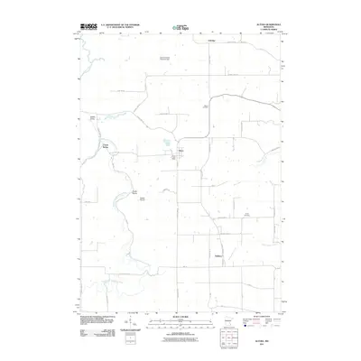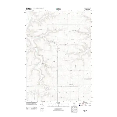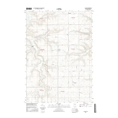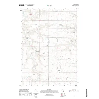
2022 Map of Altura
USGS Topo · Published 2022About this map
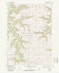
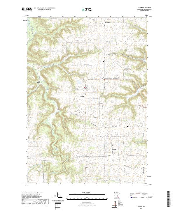
Altura serves as the central hub of this Winona County landscape, situated atop a high plateau between the dramatic incisions of the Kieffer Valley and Straight Valley. The terrain here is defined by deep coulees and ridges typical of the Driftless Area, where drainage systems like Bear Cr and Rollingstone Cr carve through the agricultural uplands. To the west, the village of Elba sits at the foot of steep bluffs along the S Fork Whitewater River, a significant tributary winding through the Whitewater River Trl corridor.
Find a feature on this map
67 named features on this map. Tap any name to fly to it.
Don’t see what you’re looking for? This feature index may not catch every label — zoom into the map to look around manually.
Map Details
Editions of this 2022 Altura Map
This is the sole edition of this map. No revisions or reprints were ever made.
Historical Maps of Altura Through Time
6 maps found