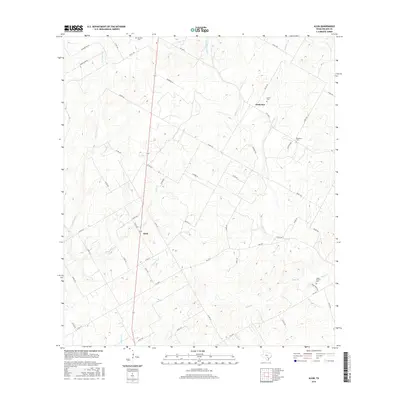
2016 Map of Alum
USGS Topo · Published 2016About this map
The community of Alum sits at the center of this rural South Texas landscape, defined by a network of creeks and drainage branches that carve through Wilson County. Tributaries such as Alum Cr, Clifton Br, and Steel Br converge toward the larger Ecleto Cr drainage system. The settlement patterns are documented through a series of local county roads and farm-to-market routes, including FM 1681 E and FM 3335, which connect the scattered homesteads and small centers like Nockenut.
Find a feature on this map
53 named features on this map. Tap any name to fly to it.
Don’t see what you’re looking for? This feature index may not catch every label — zoom into the map to look around manually.
Map Details
Editions of this 2016 Alum Map
This is the sole edition of this map. No revisions or reprints were ever made.
Other maps of this area

1920 · Smiley
USGS Topo · 1:125,000

1936 · Floresville
USGS Topo · 1:62,500

1942 · Dewville
USGS Topo · 1:62,500

1953 · Seguin
USGS Topo · 1:250,000

1954 · San Antonio
USGS Topo · 1:250,000

1956 · Dewville
USGS Topo · 1:62,500

1957 · San Antonio
USGS Topo · 1:250,000

1957 · New Berlin
USGS Topo · 1:24,000

1958 · Seguin
USGS Topo · 1:250,000

1961 · Nixon
USGS Topo · 1:24,000