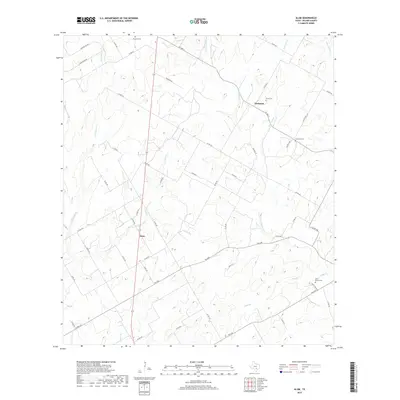
2019 Map of Alum
USGS Topo · Published 2019About this map
Nockenut and Alum anchor this rural landscape in Wilson County, where a complex network of county roads and farm-to-market routes provides access to long-established family lands. The drainage pattern is particularly dense, defined by Ecleto Cr and its various tributaries including the E Fork Ecleto Cr, Gold Pool Br, and Steel Br. These waterways historically dictated the placement of early settlements and agricultural boundaries.
Find a feature on this map
55 named features on this map. Tap any name to fly to it.
Don’t see what you’re looking for? This feature index may not catch every label — zoom into the map to look around manually.
Map Details
Editions of this 2019 Alum Map
This is the sole edition of this map. No revisions or reprints were ever made.
Other maps of this area

1920 · Smiley
USGS Topo · 1:125,000

1936 · Floresville
USGS Topo · 1:62,500

1942 · Dewville
USGS Topo · 1:62,500

1953 · Seguin
USGS Topo · 1:250,000

1954 · San Antonio
USGS Topo · 1:250,000

1956 · Dewville
USGS Topo · 1:62,500

1957 · San Antonio
USGS Topo · 1:250,000

1957 · New Berlin
USGS Topo · 1:24,000

1958 · Seguin
USGS Topo · 1:250,000

1961 · Nixon
USGS Topo · 1:24,000