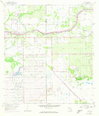
1958 Map of Alva
USGS Topo · Published 1974About this map
The Caloosahatchee River winds through this South Florida landscape, serving as a central artery for the rural communities of Alva and Denaud. By the early 1970s, the map reveals a significant transition in land use, particularly visible in the expanding grid of Lehigh Acres to the south. This planned development stands in stark contrast to the natural drainages of Spanish Creek and Cypress Creek found in the north. The map documents an extensive network of irrigation and drainage canals, such as Mike Canal, King Canal, and Townsend Canal, which were critical for managing the region's low-lying terrain. The presence of numerous Flowing Wells and a large Quarry near the newer developments indicates the area's increasing reliance on both groundwater and aggregate resources during Florida's mid-century growth surge. Genealogists and local historians can trace the early layout of these settlements and the specific family-named waterways like Fort Simmons Branch and Jacks Br.
Find a feature on this map
30 named features on this map. Tap any name to fly to it.
Don’t see what you’re looking for? This feature index may not catch every label — zoom into the map to look around manually.
Map Details
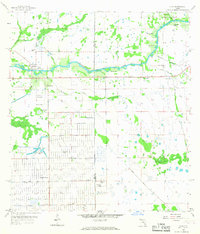
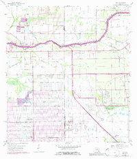
Editions of this 1958 Alva Map
4 editions found
Other maps of this area

1956 · Telegraph Swamp
USGS Topo · 1:24,000

1956 · West Palm Beach
USGS Topo · 1:250,000

1957 · West Palm Beach
USGS Topo · 1:250,000

1957 · Telegraph Swamp SE
USGS Topo · 1:24,000

1958 · West Palm Beach
USGS Topo · 1:250,000

1958 · Felda
USGS Topo · 1:24,000

1958 · Olga
USGS Topo · 1:24,000

1958 · Alva SW
USGS Topo · 1:24,000

1958 · Alva
USGS Topo · 1:24,000

1958 · Sears
USGS Topo · 1:24,000