
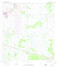
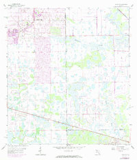
1958 Map of Alva SE
USGS Topo · Published 1959About this map
Lehigh Acres appears in its early development stages on this late 1950s survey, marked by a burgeoning street grid that contrasts sharply with the surrounding subtropical wetlands. The landscape is defined by complex drainage patterns, where the Townsend Canal and natural features like Twelvemile Slough and Fussell Slough negotiate the low-lying terrain. The map captures a pivotal transition in Southwest Florida, where systematic land planning began to overlay the traditional cattle and wilderness areas of the interior. The presence of the Corkscrew Lookout Tower and isolated landmarks like the Flowing Well highlight the area's history as a remote frontier before the mid-century population boom. This survey preserves the exact boundaries between Lee, Hendry, and Collier counties as they existed before decades of further suburban expansion.
Find a feature on this map
9 named features on this map. Tap any name to fly to it.
Don’t see what you’re looking for? This feature index may not catch every label — zoom into the map to look around manually.
Map Details
Editions of this 1958 Alva SE Map
3 editions found
Other maps of this area

1956 · West Palm Beach
USGS Topo · 1:250,000

1957 · West Palm Beach
USGS Topo · 1:250,000

1958 · West Palm Beach
USGS Topo · 1:250,000

1958 · Corkscrew NW
USGS Topo · 1:24,000

1958 · Immokalee
USGS Topo · 1:24,000

1958 · Felda
USGS Topo · 1:24,000

1958 · Olga
USGS Topo · 1:24,000

1958 · Alva SW
USGS Topo · 1:24,000

1958 · Alva
USGS Topo · 1:24,000

1958 · Sears
USGS Topo · 1:24,000