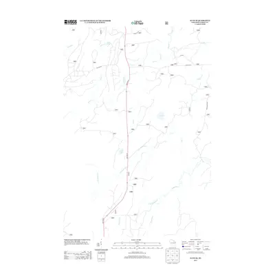
2013 Map of Alvin SE
USGS Topo · Published 2013About this map
State Hwy 55 serves as the primary north-south artery through this portion of the Chequamegon-Nicolet National Forest, cutting a straight line through a landscape defined by its complex hydrology. The northern reach is dominated by the Pine River and its various tributaries, including Sawyer Cr and the quiet waters of Waite Lake. This area reflects a classic Wisconsin Northwoods character, where road networks like Pine River Rd and Long Lake Rd provide access to remote lakeside points and timber tracts.
Find a feature on this map
18 named features on this map. Tap any name to fly to it.
Don’t see what you’re looking for? This feature index may not catch every label — zoom into the map to look around manually.
Map Details
Editions of this 2013 Alvin SE Map
This is the sole edition of this map. No revisions or reprints were ever made.
Other maps of this area

1938 · Alvin
USGS Topo · 1:48,000

1939 · Crandon
USGS Topo · 1:48,000

1939 · Laona
USGS Topo · 1:48,000

1939 · Long Lake
USGS Topo · 1:48,000

1941 · Crandon
USGS Topo · 1:48,000

1946 · Laona
USGS Topo · 1:48,000

1946 · Alvin
USGS Topo · 1:48,000

1947 · Crandon
USGS Topo · 1:48,000

1948 · Long Lake
USGS Topo · 1:48,000

1954 · Iron Mountain
USGS Topo · 1:250,000