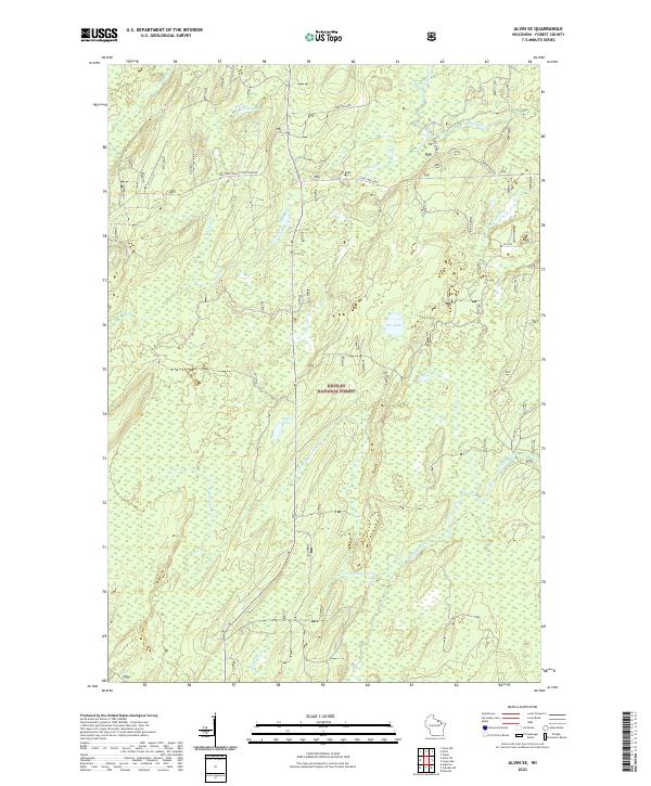
2022 Map of Alvin SE
USGS Topo · Published 2022About this map
Nicolet National Forest encompasses the vast majority of this landscape in Forest County, where the hydrology is defined by the winding course of the Pine River and the Popple River. The network of water continues with the N Br Popple River and several isolated bodies of water such as Rat Lake, Waite Lake, and Rogers Lake. While the terrain is predominantly natural, a few key forest roads and rural lanes provide access to the interior. These include Long Lake Road, Hartline Lane, and Sheltered Valley/Pine River Rd. Small drainage features like Jones Creek and Kingstone Cr further segment the northern reaches of the forest. The map provides a clear look at the township and range boundaries that organize this section of Wisconsin's Northwoods, specifically highlighting parts of t39n r13e, t39n r14e, t38n r13e, and t38n r14e.
Find a feature on this map
20 named features on this map. Tap any name to fly to it.
Don’t see what you’re looking for? This feature index may not catch every label — zoom into the map to look around manually.
Map Details
Editions of this 2022 Alvin SE Map
This is the sole edition of this map. No revisions or reprints were ever made.
Other maps of this area

1938 · Alvin
USGS Topo · 1:48,000

1939 · Crandon
USGS Topo · 1:48,000

1939 · Laona
USGS Topo · 1:48,000

1939 · Long Lake
USGS Topo · 1:48,000

1941 · Crandon
USGS Topo · 1:48,000

1946 · Laona
USGS Topo · 1:48,000

1946 · Alvin
USGS Topo · 1:48,000

1947 · Crandon
USGS Topo · 1:48,000

1948 · Long Lake
USGS Topo · 1:48,000

1954 · Iron Mountain
USGS Topo · 1:250,000