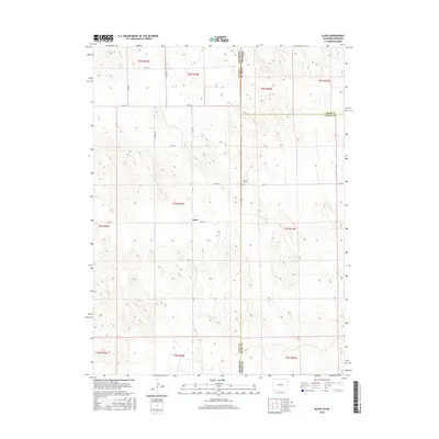
2016 Map of Alvin
USGS Topo · Published 2016About this map
The small settlement of Alvin serves as the focal point for this section of the High Plains, where the border of Colorado and Nebraska defines the local geography. Situated in Yuma County, the landscape is characterized by a grid of county roads such as Co Rd 51 and Co Rd 52 that navigate the gently undulating terrain of the Republican River basin. A significant genealogical landmark, the Hughes Cem, is located just east of the state line near Rd 724. The map illustrates the sparse, agrarian nature of the region in the early 21st century, showing how the tri-county intersection of Yuma, Chase, and Dundy counties shapes the jurisdictional boundaries of these rural ranching and farming communities.
Find a feature on this map
22 named features on this map. Tap any name to fly to it.
Don’t see what you’re looking for? This feature index may not catch every label — zoom into the map to look around manually.
Map Details
Editions of this 2016 Alvin Map
This is the sole edition of this map. No revisions or reprints were ever made.
Other maps of this area

1954 · Sterling
USGS Topo · 1:250,000

1954 · McCook
USGS Topo · 1:250,000

1957 · McCook
USGS Topo · 1:250,000

1958 · McCook
USGS Topo · 1:250,000

1958 · Sterling
USGS Topo · 1:250,000

1971 · Alvin NW
USGS Topo · 1:24,000

1971 · Alvin SW
USGS Topo · 1:24,000

1971 · Alvin
USGS Topo · 1:24,000

1971 · Wray NE
USGS Topo · 1:24,000

1971 · Alvin NE
USGS Topo · 1:24,000