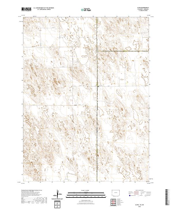
2022 Map of Alvin
USGS Topo · Published 2022About this map
Alvin sits at the heart of this high-plains landscape, where the agricultural grid of Colorado meets the Nebraska state line. The terrain is defined by a sparse but structured network of county roads, including Co Rd 51 and Co Rd 55, which follow the township and range lines across Yuma, Chase, and Dundy counties. This borderland region is characterized by subtle topographic undulations and isolated landmarks, such as the Hughes Cem located right on the state boundary near Rd 724. The map illustrates the late-twentieth-century rural organization of the Great Plains, where large-scale land divisions and scattered ranching or farming infrastructure dominate the geography far from major urban centers.
Find a feature on this map
22 named features on this map. Tap any name to fly to it.
Don’t see what you’re looking for? This feature index may not catch every label — zoom into the map to look around manually.
Map Details
Editions of this 2022 Alvin Map
This is the sole edition of this map. No revisions or reprints were ever made.
Other maps of this area

1954 · Sterling
USGS Topo · 1:250,000

1954 · McCook
USGS Topo · 1:250,000

1957 · McCook
USGS Topo · 1:250,000

1958 · McCook
USGS Topo · 1:250,000

1958 · Sterling
USGS Topo · 1:250,000

1971 · Alvin NW
USGS Topo · 1:24,000

1971 · Alvin SW
USGS Topo · 1:24,000

1971 · Alvin
USGS Topo · 1:24,000

1971 · Wray NE
USGS Topo · 1:24,000

1971 · Alvin NE
USGS Topo · 1:24,000