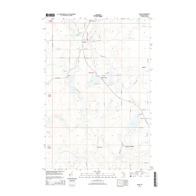
2014 Map of Amasa
USGS Topo · Published 2014About this map
Amasa serves as the primary hub of this landscape, situated near the headwaters of the Hemlock River and Harrison Cr. The terrain is defined by its complex hydrology, featuring numerous glacial lakes such as Gibson Lake, Cemetery Lake, and Swan Lake, alongside the prominent Paint River which flows through the southern reaches. Local family and industrial history are etched into the road network, with names like Parks Farm Rd, Finn Farm Cr, and Warner Mine Rd suggesting the region's agricultural and extractive past. Genealogists will find the Hematite Cem near Amasa particularly significant, while the presence of Chicagon Falls and Chicagon Slough illustrates the wilder, unmanaged character of the river systems in this part of Iron County.
Find a feature on this map
85 named features on this map. Tap any name to fly to it.
Don’t see what you’re looking for? This feature index may not catch every label — zoom into the map to look around manually.
Map Details
Editions of this 2014 Amasa Map
This is the sole edition of this map. No revisions or reprints were ever made.
Other maps of this area

1895 · Ned Lake
USGS Topo · 1:62,500

1895 · Perch Lake
USGS Topo · 1:62,500

1898 · Iron River
USGS Topo · 1:62,500

1899 · Crystal Falls
USGS Topo · 1:62,500

1944 · Crystal Falls
USGS Topo · 1:24,000

1944 · Gaastra
USGS Topo · 1:24,000

1944 · Fortune Lakes
USGS Topo · 1:24,000

1945 · Sunset Lake
USGS Topo · 1:24,000

1945 · Kelso Junction
USGS Topo · 1:24,000

1945 · Amasa
USGS Topo · 1:24,000