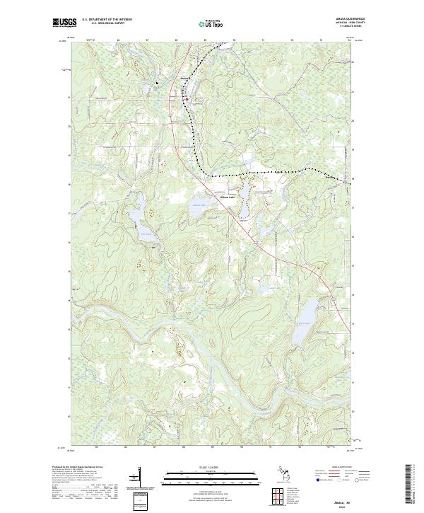
2023 Map of Amasa
USGS Topo · Published 2023About this map
Amasa serves as the focal point of this northern Michigan landscape, where the Hemlock River and Paint River define the local topography. This 2023 survey illustrates a region shaped by its mining and timber heritage, evidenced by historical indicators like Warner Mine Rd and the Hematite Cem near Cemetery Lake. The settlement pattern follows the corridor of Old 141, connecting the small community of Balsam with the larger hub of Amasa.
Find a feature on this map
75 named features on this map. Tap any name to fly to it.
Don’t see what you’re looking for? This feature index may not catch every label — zoom into the map to look around manually.
Map Details
Editions of this 2023 Amasa Map
This is the sole edition of this map. No revisions or reprints were ever made.
Other maps of this area

1895 · Ned Lake
USGS Topo · 1:62,500

1895 · Perch Lake
USGS Topo · 1:62,500

1898 · Iron River
USGS Topo · 1:62,500

1899 · Crystal Falls
USGS Topo · 1:62,500

1944 · Crystal Falls
USGS Topo · 1:24,000

1944 · Gaastra
USGS Topo · 1:24,000

1944 · Fortune Lakes
USGS Topo · 1:24,000

1945 · Sunset Lake
USGS Topo · 1:24,000

1945 · Kelso Junction
USGS Topo · 1:24,000

1945 · Amasa
USGS Topo · 1:24,000