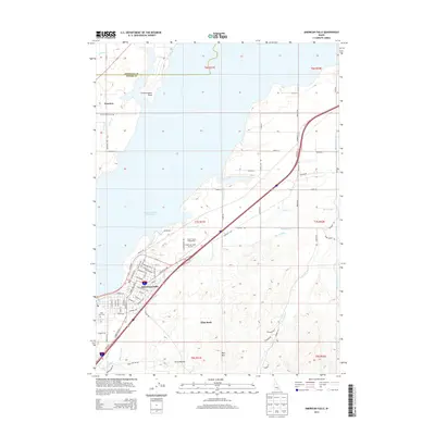
2013 Map of American Falls
USGS Topo · Published 2013About this map
American Falls serves as the focal point of this Power County survey, situated on the southern banks of the American Falls Reservoir. The map documents a landscape defined by water management and transit, where the Main E Canal, Main W Canal, and numerous laterals like Lateral P weave through the terrain to support regional agriculture. On the outskirts of town, the Power County Fairgrounds and American Falls Airport mark the community's infrastructure, while the Falls View Cem sits near the western edge of the settlement. To the north, the reservoir shoreline is punctuated by Fenstermaker Point, while the southern landscape rises toward Paps Mtn and Lone Rock. This area reflects a mid-twentieth-century Idaho settlement pattern where modern highways and air travel intersect with older geological markers and a sophisticated network of irrigation canals.
Find a feature on this map
91 named features on this map. Tap any name to fly to it.
Don’t see what you’re looking for? This feature index may not catch every label — zoom into the map to look around manually.
Map Details
Editions of this 2013 American Falls Map
This is the sole edition of this map. No revisions or reprints were ever made.
Other maps of this area

1934 · American Falls
USGS Topo · 1:62,500

1934 · Michaud
USGS Topo · 1:62,500

1934 · Rockland
USGS Topo · 1:62,500

1936 · American Falls
USGS Topo · 1:62,500

1937 · Rockland
USGS Topo · 1:62,500

1937 · Michaud
USGS Topo · 1:62,500

1938 · Pauline
USGS Topo · 1:48,000

1944 · Arbon
USGS Topo · 1:62,500

1954 · Pocatello
USGS Topo · 1:250,000

1958 · Pocatello
USGS Topo · 1:250,000