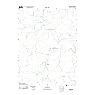
2012 Map of Americus
USGS Topo · Published 2012About this map
Americus sits at the junction of Bluffton Rd and Dry Fork, serving as a central point in this rural Missouri landscape. The terrain is defined by the winding course of the Loutre River and its numerous tributaries, including Dishwater Creek and Clear Creek. To the north, Loutre Valley Lake and the Loutre Lick Access Area provide recreation and water management for the region.
Find a feature on this map
52 named features on this map. Tap any name to fly to it.
Don’t see what you’re looking for? This feature index may not catch every label — zoom into the map to look around manually.
Map Details
Editions of this 2012 Americus Map
This is the sole edition of this map. No revisions or reprints were ever made.
Other maps of this area

1890 · Hermann
USGS Topo · 1:125,000

1890 · Fulton
USGS Topo · 1:125,000

1935 · Morrison
USGS Topo · 1:48,000

1936 · Hermann
USGS Topo · 1:48,000

1940 · Montgomery City
USGS Topo · 1:62,500

1942 · Montgomery City
USGS Topo · 1:62,500

1942 · Morrison
USGS Topo · 1:62,500

1942 · Hermann
USGS Topo · 1:62,500

1942 · New Florence
USGS Topo · 1:62,500

1945 · Hermann
USGS Topo · 1:62,500