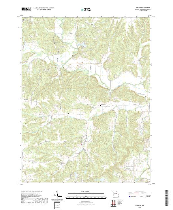
2021 Map of Americus
USGS Topo · Published 2021About this map
Americus sits at the heart of this Montgomery County landscape, where the Loutre River and its numerous tributaries like Prairie Fork and Dry Fork carve a complex network of valleys. The terrain is marked by significant local landmarks such as Graveyard Hill and Possum Hollow, reflecting a long-settled rural character. The map is particularly useful for genealogical research, documenting numerous family and community burial sites including Bryant Cem, Senethem Cem, and Kendrick Cem scattered across the countryside.
Find a feature on this map
64 named features on this map. Tap any name to fly to it.
Don’t see what you’re looking for? This feature index may not catch every label — zoom into the map to look around manually.
Map Details
Editions of this 2021 Americus Map
This is the sole edition of this map. No revisions or reprints were ever made.
Other maps of this area

1890 · Hermann
USGS Topo · 1:125,000

1890 · Fulton
USGS Topo · 1:125,000

1935 · Morrison
USGS Topo · 1:48,000

1936 · Hermann
USGS Topo · 1:48,000

1940 · Montgomery City
USGS Topo · 1:62,500

1942 · Montgomery City
USGS Topo · 1:62,500

1942 · Morrison
USGS Topo · 1:62,500

1942 · Hermann
USGS Topo · 1:62,500

1942 · New Florence
USGS Topo · 1:62,500

1945 · Hermann
USGS Topo · 1:62,500