
1960 Map of Amesville
USGS Topo · Published 1962About this map
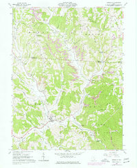
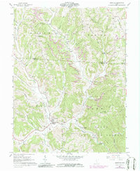
Amesville and the surrounding townships of Ames, Bern, Marion, and Homer define this pocket of southeastern Ohio at the start of the 1960s. The landscape is characterized by the winding path of Federal Creek and its many tributaries, such as Linscott Run and Kitten Run. An industrial history is evident in the numerous Gas Well locations and active extraction sites like the Strip Mine north of Lathrop.
Find a feature on this map
64 named features on this map. Tap any name to fly to it.
Don’t see what you’re looking for? This feature index may not catch every label — zoom into the map to look around manually.
Map Details
Editions of this 1960 Amesville Map
4 editions found
Other maps of this area

1903 · Athens
USGS Topo · 1:62,500

1904 · Chesterhill
USGS Topo · 1:62,500

1905 · Athens
USGS Topo · 1:62,500

1906 · Chesterhill
USGS Topo · 1:62,500

1910 · Mc Connelsville
USGS Topo · 1:62,500

1911 · New Lexington
USGS Topo · 1:62,500

1947 · Columbus
USGS Topo · 1:250,000

1949 · Clarksburg
USGS Topo · 1:250,000

1956 · Clarksburg
USGS Topo · 1:250,000

1960 · Amesville
USGS Topo · 1:24,000