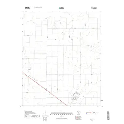
2019 Map of Amherst
USGS Topo · Published 2019About this map
Amherst occupies the southeast corner of this High Plains landscape, its grid oriented diagonally to the surrounding sections and defined by thoroughfares like Washington Ave, Adams Ave, and Jefferson Ave. Outside the town center, the terrain is characterized by a sprawling network of numbered county roads and state farm-to-market routes such as FM 1843 and FM 1055. The most significant natural feature is the winding Blackwater Draw, which cuts across the northeast, providing a distinct topographical contrast to the otherwise flat, agricultural plains of Lamb County. This survey reflects a modern agricultural region where the rigid township and range system is punctuated by local drainage patterns and the concentrated infrastructure of the Amherst community.
Find a feature on this map
42 named features on this map. Tap any name to fly to it.
Don’t see what you’re looking for? This feature index may not catch every label — zoom into the map to look around manually.
Map Details
Editions of this 2019 Amherst Map
This is the sole edition of this map. No revisions or reprints were ever made.
Other maps of this area

1954 · Clovis
USGS Topo · 1:250,000

1954 · Brownfield
USGS Topo · 1:250,000

1958 · Brownfield
USGS Topo · 1:250,000

1958 · Clovis
USGS Topo · 1:250,000

1962 · Brownfield
USGS Topo · 1:250,000

1962 · Amherst
USGS Topo · 1:24,000

1962 · Sudan
USGS Topo · 1:24,000

1962 · Muleshoe NE
USGS Topo · 1:24,000

1962 · Cofferville
USGS Topo · 1:24,000

1962 · Springlake
USGS Topo · 1:24,000