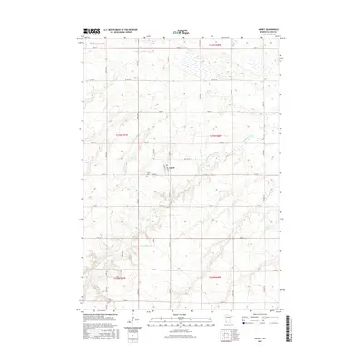
2016 Map of Amiret
USGS Topo · Published 2016About this map
Amiret serves as a central hub in this section of Lyon County, situated just north of the winding Cottonwood River. The surrounding landscape is defined by the grid of local roads like Co Rd 2 and Co Rd 69 that partition the agricultural fields. Family researchers will find the locations of Amiret Cem and Bethel Cem documented, offering a precise view of local landmarks as they existed in the mid-2010s. To the north, Meadow Cr cuts through the township boundaries of t111n r40w and t111n r41w, illustrating the drainage patterns that influence the local geography. The map provides a clear record of the rural infrastructure, from township lines to the naming conventions of the secondary road system.
Find a feature on this map
24 named features on this map. Tap any name to fly to it.
Don’t see what you’re looking for? This feature index may not catch every label — zoom into the map to look around manually.
Map Details
Editions of this 2016 Amiret Map
This is the sole edition of this map. No revisions or reprints were ever made.
Other maps of this area

1953 · New Ulm
USGS Topo · 1:250,000

1957 · New Ulm
USGS Topo · 1:250,000

1958 · New Ulm
USGS Topo · 1:250,000

1962 · Dudley
USGS Topo · 1:24,000

1962 · Milroy SE
USGS Topo · 1:24,000

1962 · Amiret
USGS Topo · 1:24,000

1962 · Milroy
USGS Topo · 1:24,000

1963 · Marshall SE
USGS Topo · 1:24,000

1963 · Marshall
USGS Topo · 1:24,000

1967 · New Ulm
USGS Topo · 1:250,000