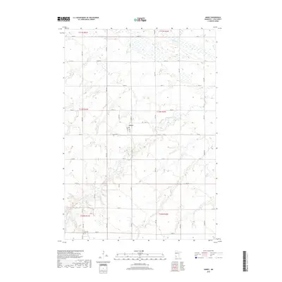
2019 Map of Amiret
USGS Topo · Published 2019About this map
The Amiret townsite sits at the geographic center of this agricultural landscape in Lyon County, positioned where Church St and Front St form the small community's core. The surrounding terrain is defined by the winding path of the Cottonwood River, which snakes through the southern and central portions of the quadrangle, and the marshy expanses of Meadow Cr to the north. This 2019 survey documents the enduring rural structure of the region, where a precise grid of roads like Co Rd 9 and 170th St sections the prairie into productive fields. Local heritage is anchored by longstanding landmarks such as the Amiret Cem just west of the village and Bethel Cem to the south, providing essential reference points for genealogists tracing family roots in this corner of Minnesota.
Find a feature on this map
36 named features on this map. Tap any name to fly to it.
Don’t see what you’re looking for? This feature index may not catch every label — zoom into the map to look around manually.
Map Details
Editions of this 2019 Amiret Map
This is the sole edition of this map. No revisions or reprints were ever made.
Other maps of this area

1953 · New Ulm
USGS Topo · 1:250,000

1957 · New Ulm
USGS Topo · 1:250,000

1958 · New Ulm
USGS Topo · 1:250,000

1962 · Dudley
USGS Topo · 1:24,000

1962 · Milroy SE
USGS Topo · 1:24,000

1962 · Amiret
USGS Topo · 1:24,000

1962 · Milroy
USGS Topo · 1:24,000

1963 · Marshall SE
USGS Topo · 1:24,000

1963 · Marshall
USGS Topo · 1:24,000

1967 · New Ulm
USGS Topo · 1:250,000