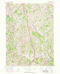
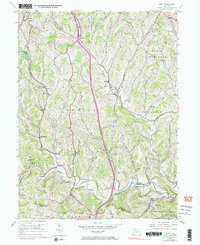
1954 Map of Amity
USGS Topo · Published 1969About this map
Little Tenmile Creek and the main branch of Tenmile Creek wind through this part of Washington County, defining the valley-and-ridge landscape of southwestern Pennsylvania. The 1954 data, updated in 1969, reveals a region transitioning from small-scale agriculture and early milling to industrial infrastructure, marked by the presence of a pipeline and the Norfolk and Western Railroad near Marianna. Historic rural community life is anchored by family-named sites such as Wells Cem and Harts Mill, alongside numerous houses of worship like Bethlehem Ch and Mount Herman Ch. The map shows a high density of rural schoolhouses and stations, including Sowers Sch and Dunn Sta, illustrating the dispersed settlement patterns of the Amwell and North Bethlehem townships before late-century consolidation altered the local geography.
Find a feature on this map
46 named features on this map. Tap any name to fly to it.
Don’t see what you’re looking for? This feature index may not catch every label — zoom into the map to look around manually.
Map Details
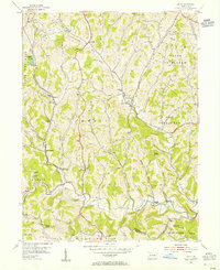
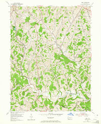
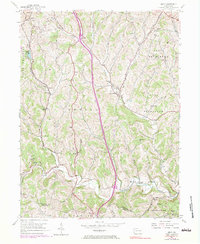
Editions of this 1954 Amity Map
5 editions found
Other maps of this area

1901 · Amity
USGS Topo · 1:62,500

1901 · Waynesburg
USGS Topo · 1:62,500

1904 · Amity
USGS Topo · 1:62,500

1904 · Waynesburg
USGS Topo · 1:62,500

1905 · Rogersville
USGS Topo · 1:62,500

1907 · Claysville
USGS Topo · 1:62,500

1949 · Clarksburg
USGS Topo · 1:250,000

1951 · Canton
USGS Topo · 1:250,000

1953 · Canton
USGS Topo · 1:250,000
1953 · Washington East
USGS Topo · 1:24,000
Featured Places
- Amwell Township, PA
- West Bethlehem Township, PA
- Morris Township, PA
- Baker Station, Amwell Township
- Morris Township, PA