2022 Map of Amorita
USGS Topo · Published 2022About this map
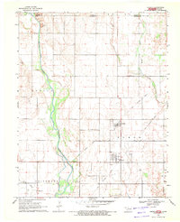
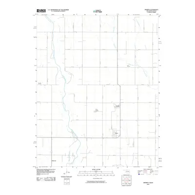
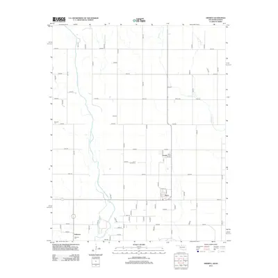
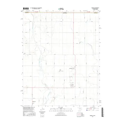
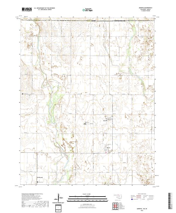
The Medicine Lodge River winds through this northern Alfalfa County landscape, where the small agricultural hubs of Amorita and Byron are located just south of the Oklahoma-Kansas state line. The survey highlights a regular grid of section roads that define the rural character of the region, punctuated by local landmarks like the Byron - Amorita Cem and Bethel Cem. Down near the southern border of the quadrangle, the community of Driftwood sits near the Driftwood Cem, marking a cluster of local history in an area otherwise dominated by the river's floodplains and tributaries like Sandy Cr and Little Sandy Cr. The concentration of cemeteries and named street grids in these small towns offers a clear picture of established settlements maintaining their identity within the expansive plains of the Cherokee Outlet region.
Find a feature on this map
47 named features on this map. Tap any name to fly to it.
Don’t see what you’re looking for? This feature index may not catch every label — zoom into the map to look around manually.
Map Details
Editions of this 2022 Amorita Map
This is the sole edition of this map. No revisions or reprints were ever made.
Historical Maps of Amorita Through Time
6 maps found