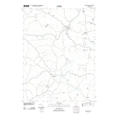
2010 Map of Amsterdam
USGS Topo · Published 2010About this map
Yellow Creek and its many tributaries, such as Goose Creek and Elk Fork, carve through the complex topography of Jefferson County. The settlement of Amsterdam serves as a local hub, home to the Amsterdam Post Office and Amsterdam Cemetery. The landscape is defined by its numerous family and community burial grounds, which offer significant value for genealogical research. Notable sites include the Kisha Farm Cemetery, Greek Orthodox Cemetery, and the Circle Green Methodist Episcopal Cemetery further north. To the south, the village of Germano sits near the Germano Cemetery, while the small community of Wolf Run maintains its own Wolf Run Post Office. This 2010 survey reflects a region where historical rural centers and small-scale infrastructure like the Fay Dam at Fay Lake remain integral to the local geography along Red Dog Ridge and Simmons Ridge.
Find a feature on this map
84 named features on this map. Tap any name to fly to it.
Don’t see what you’re looking for? This feature index may not catch every label — zoom into the map to look around manually.
Map Details
Editions of this 2010 Amsterdam Map
This is the sole edition of this map. No revisions or reprints were ever made.
Other maps of this area

1901 · Cadiz
USGS Topo · 1:62,500

1902 · Scio
USGS Topo · 1:62,500

1903 · Cadiz
USGS Topo · 1:62,500

1904 · Scio
USGS Topo · 1:62,500

1905 · Salineville
USGS Topo · 1:62,500

1910 · Carrollton
USGS Topo · 1:62,500

1912 · Carrollton
USGS Topo · 1:62,500

1951 · Canton
USGS Topo · 1:250,000

1953 · Canton
USGS Topo · 1:250,000

1957 · Canton
USGS Topo · 1:250,000