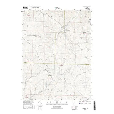
2016 Map of Amsterdam
USGS Topo · Published 2016About this map
Amsterdam sits at the confluence of several hills in a landscape defined by its deep ridges and winding creek beds. This 2016 survey shows the tri-county border area where Carroll, Jefferson, and Harrison counties meet, a region characterized by scattered rural settlements and a high density of local cemeteries that speak to the area's ancestral roots. Features like the Circle Green Methodist Episcopal Cem and Simmons Ridge Cem are positioned along high points such as Simmons Ridge and Pigeon Ridge. Waterways including Yellow Creek and Elk Fork carve through the terrain, dictating the path of local routes like Quaker Rd and Annapolis Rd. The map illustrates a contemporary rural Ohio landscape where small communities like Germano and Wolf Run remain anchored to the winding valley roads and traditional land divisions.
Find a feature on this map
61 named features on this map. Tap any name to fly to it.
Don’t see what you’re looking for? This feature index may not catch every label — zoom into the map to look around manually.
Map Details
Editions of this 2016 Amsterdam Map
This is the sole edition of this map. No revisions or reprints were ever made.
Other maps of this area

1901 · Cadiz
USGS Topo · 1:62,500

1902 · Scio
USGS Topo · 1:62,500

1903 · Cadiz
USGS Topo · 1:62,500

1904 · Scio
USGS Topo · 1:62,500

1905 · Salineville
USGS Topo · 1:62,500

1910 · Carrollton
USGS Topo · 1:62,500

1912 · Carrollton
USGS Topo · 1:62,500

1951 · Canton
USGS Topo · 1:250,000

1953 · Canton
USGS Topo · 1:250,000

1957 · Canton
USGS Topo · 1:250,000