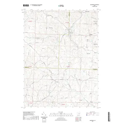
2019 Map of Amsterdam
USGS Topo · Published 2019About this map
Amsterdam and Germano anchor this portion of eastern Ohio, where the borders of Carroll, Jefferson, and Harrison Counties converge. The landscape is defined by its high ridges and the winding path of Yellow Creek, which cuts through the northern half of the survey. Significant local history is preserved in numerous family and denominational burial grounds, including the Kisha Farm Cem and the Greek Orthodox Cem near the settlement of Wolf Run.
Find a feature on this map
64 named features on this map. Tap any name to fly to it.
Don’t see what you’re looking for? This feature index may not catch every label — zoom into the map to look around manually.
Map Details
Editions of this 2019 Amsterdam Map
This is the sole edition of this map. No revisions or reprints were ever made.
Other maps of this area

1901 · Cadiz
USGS Topo · 1:62,500

1902 · Scio
USGS Topo · 1:62,500

1903 · Cadiz
USGS Topo · 1:62,500

1904 · Scio
USGS Topo · 1:62,500

1905 · Salineville
USGS Topo · 1:62,500

1910 · Carrollton
USGS Topo · 1:62,500

1912 · Carrollton
USGS Topo · 1:62,500

1951 · Canton
USGS Topo · 1:250,000

1953 · Canton
USGS Topo · 1:250,000

1957 · Canton
USGS Topo · 1:250,000