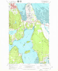
1978 Map of Anacortes South
USGS Topo · Published 1979About this map
Fidalgo Island and its intricate shoreline dominate this late-1970s survey, illustrating a landscape defined by industry and coastal recreation. Heavy industrial development is evident at the Oil Refinery on Fidalgo Bay, serviced by the Burlington Northern railroad. Nearby, small communities such as Similk Beach and Gibraltar offer a contrast to the industrial zones, while the southern reaches near Dewey and Snee-oosh Beach highlight the area's transition into the Swinomish Ind Res Bdy.
Find a feature on this map
61 named features on this map. Tap any name to fly to it.
Don’t see what you’re looking for? This feature index may not catch every label — zoom into the map to look around manually.
Map Details
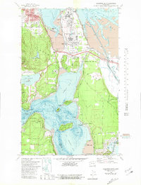
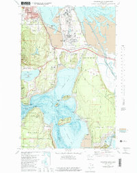
Editions of this 1978 Anacortes South Map
3 editions found
Other maps of this area

1911 · Mount Vernon
USGS Topo · 1:125,000

1918 · Samish Lake
USGS Topo · 1:62,500

1940 · Mt Vernon
USGS Topo · 1:62,500

1943 · Mt Vernon
USGS Topo · 1:62,500

1943 · Deception Pass
USGS Topo · 1:62,500

1943 · Anacortes
USGS Topo · 1:62,500

1951 · Deception Pass
USGS Topo · 1:62,500

1951 · Anacortes
USGS Topo · 1:62,500

1954 · Bow
USGS Topo · 1:24,000

1954 · Samish Lake
USGS Topo · 1:62,500