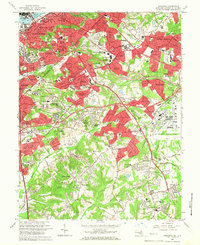
1965 Map of Anacostia
USGS Topo · Published 1966About this map
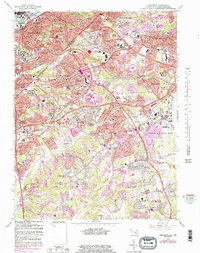
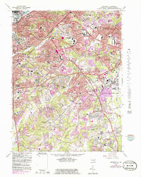
The Anacostia River and the expanding suburbs of Prince George's County dominate this mid-1960s perspective on the capital's southeastern reaches. The landscape is a dense mixture of military infrastructure, public housing like Douglass Dwellings, and the intricate park system established around historic defensive sites, including Fort Stanton Park and Fort Dupont Park. Massive institutional footprints are prominent, from the sprawling grounds of St Elizabeths Hospital and the Washington Navy Yard to the vast runways of Andrews Air Force Base. Moving south and east, the transition from urban wards to suburban Maryland is clear, marked by the curving path of the Capital Beltway and the Anacostia Freeway. The map records significant local landmarks like the Rosecroft Raceway and several large memorial sites, including Cedar Hill Cemetery and the Washington National Cem.
Find a feature on this map
133 named features on this map. Tap any name to fly to it.
Don’t see what you’re looking for? This feature index may not catch every label — zoom into the map to look around manually.
Map Details
Editions of this 1965 Anacostia Map
6 editions found
Other maps of this area

1890 · Mt. Vernon
USGS Topo · 1:125,000

1891 · Mt. Vernon
USGS Topo · 1:125,000

1892 · Brandywine
USGS Topo · 1:62,500

1894 · Mt. Vernon
USGS Topo · 1:125,000

1895 · Brandywine
USGS Topo · 1:62,500

1897 · Mt. Vernon
USGS Topo · 1:125,000

1899 · Patuxent
USGS Topo · 1:125,000

1900 · Washington
USGS Topo · 1:62,500

1906 · Patuxent
USGS Topo · 1:125,000

1911 · Brandywine
USGS Topo · 1:62,500