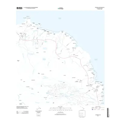
2013 Map of Anahola
USGS Topo · Published 2013About this map
Kilauea Lighthouse stands prominently on Kilauea Point at the northern tip of this coastal survey, marking a landscape defined by sharp cliffs and numerous beaches. Moving south along the windward coast of Kaua'i, the map details the agricultural and water-management infrastructure vital to the region, including the Waiakalua Reservoir, Morita Reservoir, and the tiered Kanehu Reservoir Number One system. These catchments, alongside landmarks like Kilauea Falls and the Waipahee Slide, illustrate the intensive use of the island's interior streams.
Find a feature on this map
147 named features on this map. Tap any name to fly to it.
Don’t see what you’re looking for? This feature index may not catch every label — zoom into the map to look around manually.
Map Details
Editions of this 2013 Anahola Map
This is the sole edition of this map. No revisions or reprints were ever made.
Other maps of this area

1954 · Kauai
USGS Topo · 1:250,000

1963 · Anahola
USGS Topo · 1:24,000

1963 · Kapaa
USGS Topo · 1:24,000

1963 · Hanalei
USGS Topo · 1:24,000

1965 · Waialeale
USGS Topo · 1:24,000

1967 · Kauai
USGS Topo · 1:250,000

1970 · Kauai
USGS Topo · 1:250,000

1978 · Kapaa
USGS Topo · 1:24,000
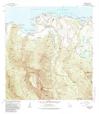
1983 · Hanalei
USGS Topo · 1:24,000
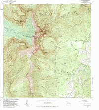
1983 · Waialeale
USGS Topo · 1:24,000