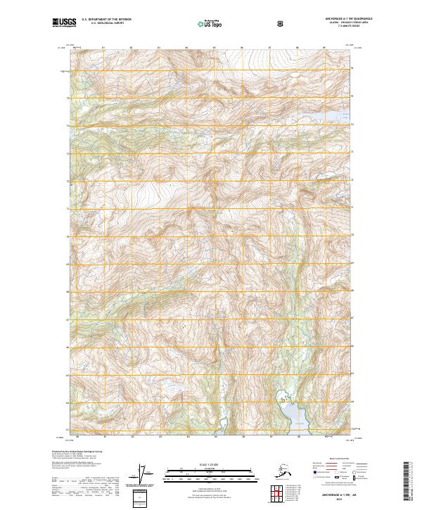
2023 Map of Anchorage A-1 SW
USGS Topo · Published 2023About this map
Chugach National Forest encompasses the high-altitude terrain of this coastal Alaskan landscape, where the Chugach Census Area meets the edge of the sea. The map reveals a dramatic transition from inland mountain basins to the shoreline of Long Bay, reflecting the classic topography of the Prince William Sound region. The elevation contours suggest a wilderness shaped by tectonic and glacial forces, with limited human markers outside of the township and range survey lines such as t12n r12e and t10s r11w. In the northeastern portion of the sheet, Kadin Lake sits within a high mountain bowl, serving as a significant freshwater feature in an otherwise steep and unpopulated area. This 2023 edition provides a baseline for modern geographers and researchers tracking the current boundaries and hydrography of these protected federal lands.
Find a feature on this map
8 named features on this map. Tap any name to fly to it.
Don’t see what you’re looking for? This feature index may not catch every label — zoom into the map to look around manually.
Map Details
Editions of this 2023 Anchorage A-1 SW Map
This is the sole edition of this map. No revisions or reprints were ever made.
Other maps of this area

1951 · Seward
USGS Topo · 1:250,000

1951 · Anchorage
USGS Topo · 1:250,000

1951 · Seward D-2
USGS Topo · 1:63,360

1951 · Seward D-1
USGS Topo · 1:63,360

1952 · Seward D-1
USGS Topo · 1:63,360

1952 · Seward D-2
USGS Topo · 1:63,360

1953 · Seward
USGS Topo · 1:250,000

1959 · Seward
USGS Topo · 1:250,000

1960 · Anchorage A-2
USGS Topo · 1:63,360

1960 · Anchorage A-1
USGS Topo · 1:63,360