
1960 Map of Anchorage A-1
USGS Topo · Published 1963About this map
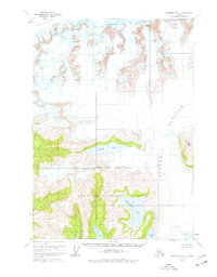
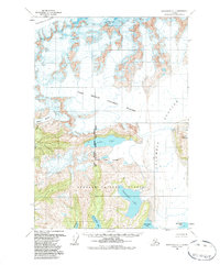
Columbia Glacier dominates this mid-century Alaskan landscape, its massive ice field marked by deep crevasses as it moves toward the coast. The map illustrates a dramatic wilderness where the glacial ice meets the sea at Columbia Bay, a region largely contained within the Chugach National Forest. The geography is defined by sharp elevation changes, from the towering Columbia Peak in the north to the coastal inlets of Long Bay in the south. An interesting detail is the National Forest Boundary (Indefinite), reflecting the unsurveyed nature of this territory at the time. Billys Hole Lake sits as a significant interior water body, surrounded by the ice-carved terrain of the Pedro Glacier and numerous unnamed peaks, illustrating the isolation of the Prince William Sound region before modern development reached these reaches.
Find a feature on this map
10 named features on this map. Tap any name to fly to it.
Don’t see what you’re looking for? This feature index may not catch every label — zoom into the map to look around manually.
Map Details
Editions of this 1960 Anchorage A-1 Map
3 editions found
Other maps of this area

1948 · Cordova
USGS Topo · 1:250,000

1951 · Seward
USGS Topo · 1:250,000

1951 · Anchorage
USGS Topo · 1:250,000

1951 · Cordova
USGS Topo · 1:250,000

1951 · Seward D-2
USGS Topo · 1:63,360

1951 · Seward D-1
USGS Topo · 1:63,360

1951 · Cordova D-8
USGS Topo · 1:63,360

1952 · Valdez
USGS Topo · 1:250,000

1952 · Seward D-1
USGS Topo · 1:63,360

1952 · Cordova D-8
USGS Topo · 1:63,360