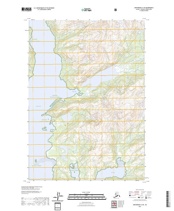
2023 Map of Anchorage A-2 SE
USGS Topo · Published 2023About this map
Chugach National Forest preserves this glaciated coastal wilderness where the Chugach Mountains meet the northern waters of Prince William Sound. The landscape is defined by the flow of ice and water, most notably where Brilliant Glacier feeds into the drainage systems that carve through the steep terrain. The central geography of the map is dominated by the connected system of the Miners River, which flows south into the expansive Miners Lake before reaching the sea at Miners Bay. This area, largely untouched by modern development or road networks, showcases the intricate shoreline of Unakwik Inlet and Wells Bay, highlighting a region where tidal influence and glacial melt dictate the natural boundaries of the land.
Find a feature on this map
11 named features on this map. Tap any name to fly to it.
Don’t see what you’re looking for? This feature index may not catch every label — zoom into the map to look around manually.
Map Details
Editions of this 2023 Anchorage A-2 SE Map
This is the sole edition of this map. No revisions or reprints were ever made.
Other maps of this area

1951 · Seward
USGS Topo · 1:250,000

1951 · Anchorage
USGS Topo · 1:250,000

1951 · Seward D-2
USGS Topo · 1:63,360

1951 · Seward D-1
USGS Topo · 1:63,360

1952 · Seward D-1
USGS Topo · 1:63,360

1952 · Seward D-2
USGS Topo · 1:63,360

1953 · Seward
USGS Topo · 1:250,000

1959 · Seward
USGS Topo · 1:250,000

1960 · Anchorage A-2
USGS Topo · 1:63,360

1960 · Anchorage A-1
USGS Topo · 1:63,360