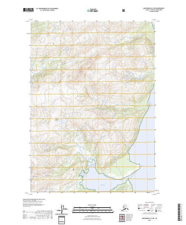
2023 Map of Anchorage A-2 SW
USGS Topo · Published 2023About this map
Chugach National Forest land defines this portion of the Prince William Sound hinterland, where massive ice fields meet the tide. The map documents the intricate relationship between the coastal waters of Unakwik Inlet and the glacial systems that feed into it from the surrounding mountains. In the southern reach of the sheet, Jonah Bay cuts into the coastline, while the elevations are dominated by Unakwik Peak.
Find a feature on this map
11 named features on this map. Tap any name to fly to it.
Don’t see what you’re looking for? This feature index may not catch every label — zoom into the map to look around manually.
Map Details
Editions of this 2023 Anchorage A-2 SW Map
This is the sole edition of this map. No revisions or reprints were ever made.
Other maps of this area

1951 · Seward
USGS Topo · 1:250,000

1951 · Anchorage
USGS Topo · 1:250,000

1951 · Seward D-2
USGS Topo · 1:63,360

1951 · Seward D-3
USGS Topo · 1:63,360

1952 · Seward D-3
USGS Topo · 1:63,360

1952 · Seward D-2
USGS Topo · 1:63,360

1953 · Seward
USGS Topo · 1:250,000

1959 · Seward
USGS Topo · 1:250,000

1960 · Anchorage A-2
USGS Topo · 1:63,360

1960 · Anchorage A-3
USGS Topo · 1:63,360