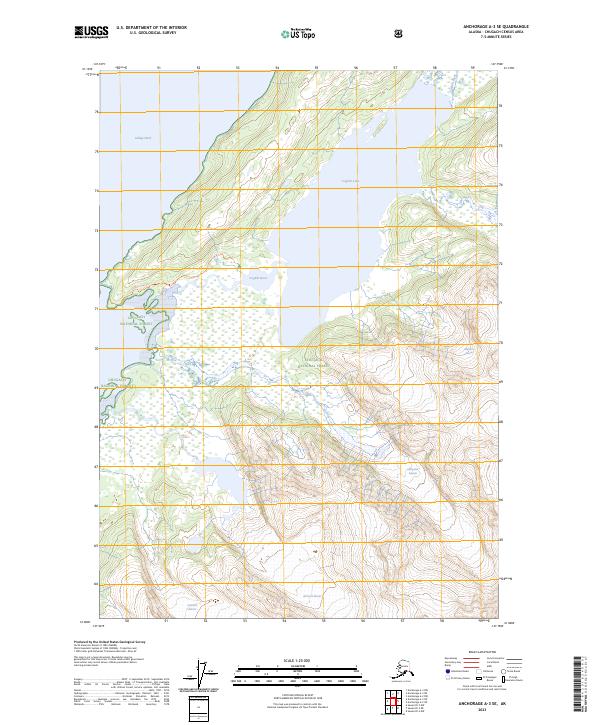
2023 Map of Anchorage A-3 SE
USGS Topo · Published 2023About this map
Chugach National Forest provides the setting for this glaciated landscape where the College Fiord coastline meets the rugged interior. The map illustrates a dramatic drainage system connecting Coghill Lake to the sea via the Coghill River, a geographical relationship that has long defined access to this part of the Chugach Mountains. High-elevation ice fields are represented by several named features including Williams Glacier, Lafayette Glacier, Amherst Glacier, and Crescent Glacier. This modern survey reveals the contemporary extent of these glacial systems and the surrounding wetlands. The lack of roads or established settlements emphasizes the primitive state of the terrain, where landmarks like Coghill Lake Tri serve as primary points of reference for navigation and survey work.
Find a feature on this map
13 named features on this map. Tap any name to fly to it.
Don’t see what you’re looking for? This feature index may not catch every label — zoom into the map to look around manually.
Map Details
Editions of this 2023 Anchorage A-3 SE Map
This is the sole edition of this map. No revisions or reprints were ever made.
Other maps of this area

1951 · Seward
USGS Topo · 1:250,000

1951 · Anchorage
USGS Topo · 1:250,000

1951 · Seward D-2
USGS Topo · 1:63,360

1951 · Seward D-3
USGS Topo · 1:63,360

1952 · Seward D-3
USGS Topo · 1:63,360

1952 · Seward D-2
USGS Topo · 1:63,360

1953 · Seward
USGS Topo · 1:250,000

1959 · Seward
USGS Topo · 1:250,000

1960 · Anchorage A-2
USGS Topo · 1:63,360

1960 · Anchorage A-3
USGS Topo · 1:63,360